
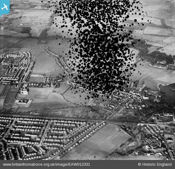
EAW012331 ENGLAND (1947). Wargrave, Newton-Le-Willows, 1947. This image has been produced from a damaged negative.
© Copyright OpenStreetMap contributors and licensed by the OpenStreetMap Foundation. 2026. Cartography is licensed as CC BY-SA.
Nearby Images (2)
EAW012331

EAW012332

Details
| Title | [EAW012331] Wargrave, Newton-Le-Willows, 1947. This image has been produced from a damaged negative. |
| Reference | EAW012331 |
| Date | 26-November-1947 |
| Link | |
| Place name | NEWTON-LE-WILLOWS |
| Parish | |
| District | |
| Country | ENGLAND |
| Easting / Northing | 358859, 395836 |
| Longitude / Latitude | -2.6196662773271, 53.457412908526 |
| National Grid Reference | SJ589958 |
