
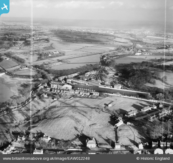
EAW012248 ENGLAND (1947). The Butterley Iron Works and environs, Butterley, from the west, 1947. This image was marked by Aerofilms Ltd for photo editing.
© Copyright OpenStreetMap contributors and licensed by the OpenStreetMap Foundation. 2026. Cartography is licensed as CC BY-SA.
Nearby Images (12)
EAW012248

EAW012261

EAW012252

EAW012253

EAW012249

EAW012250

EAW012254

EAW012255

EAW012251

EAW012262

EAW012256

EPW050254

Details
| Title | [EAW012248] The Butterley Iron Works and environs, Butterley, from the west, 1947. This image was marked by Aerofilms Ltd for photo editing. |
| Reference | EAW012248 |
| Date | 24-November-1947 |
| Link | |
| Place name | BUTTERLEY |
| Parish | RIPLEY |
| District | |
| Country | ENGLAND |
| Easting / Northing | 439862, 351490 |
| Longitude / Latitude | -1.4051536734678, 53.058870103132 |
| National Grid Reference | SK399515 |
Pins

Maitland |
Thursday 12th of March 2015 07:07:08 AM |