
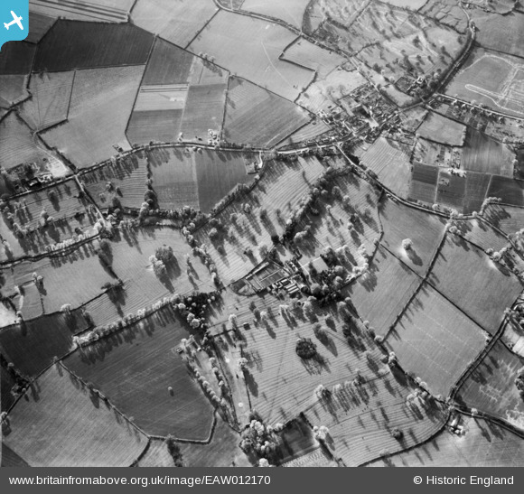
EAW012170 ENGLAND (1947). Crawley Grange and the village, North Crawley, 1947
© Copyright OpenStreetMap contributors and licensed by the OpenStreetMap Foundation. 2025. Cartography is licensed as CC BY-SA.
Nearby Images (10)
EAW012170

EAW012168

EAW012167

EAW012171

EAW012175

EAW012174

EAW012172

EAW012173

EAW012169

EAW012166

Details
| Title | [EAW012170] Crawley Grange and the village, North Crawley, 1947 |
| Reference | EAW012170 |
| Date | 10-November-1947 |
| Link | |
| Place name | NORTH CRAWLEY |
| Parish | NORTH CRAWLEY |
| District | |
| Country | ENGLAND |
| Easting / Northing | 493166, 244829 |
| Longitude / Latitude | -0.6398967891492, 52.093537667669 |
| National Grid Reference | SP932448 |
Pins
Be the first to add a comment to this image!