
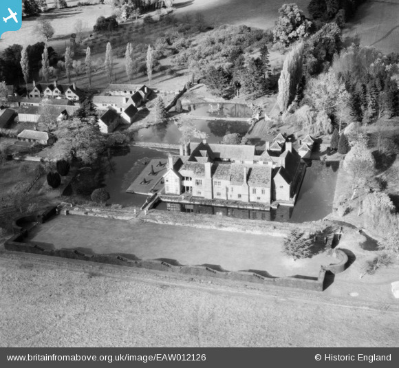
EAW012126 ENGLAND (1947). Brinsop Court, Brinsop, 1947
© Copyright OpenStreetMap contributors and licensed by the OpenStreetMap Foundation. 2025. Cartography is licensed as CC BY-SA.
Nearby Images (9)
EAW012126

EAW012121

EAW012137

EAW012128

EAW012122

EAW012123

EAW012127

EAW012124

EAW012125

Details
| Title | [EAW012126] Brinsop Court, Brinsop, 1947 |
| Reference | EAW012126 |
| Date | 5-December-1947 |
| Link | |
| Place name | BRINSOP |
| Parish | BRINSOP AND WORMSLEY |
| District | |
| Country | ENGLAND |
| Easting / Northing | 344584, 245761 |
| Longitude / Latitude | -2.8092333654783, 52.106986608805 |
| National Grid Reference | SO446458 |
Pins
Be the first to add a comment to this image!