
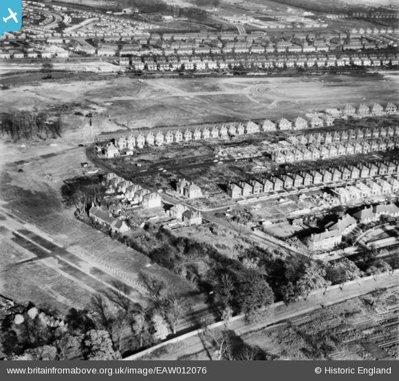
EAW012076 ENGLAND (1947). The residential area surrounding Brendon Road under construction, Wollaton, 1947
© Copyright OpenStreetMap contributors and licensed by the OpenStreetMap Foundation. 2026. Cartography is licensed as CC BY-SA.
Nearby Images (7)
EAW012076

EAW012073

EAW012074

EAW012077

EAW012075

EAW012066

EAW012064

Details
| Title | [EAW012076] The residential area surrounding Brendon Road under construction, Wollaton, 1947 |
| Reference | EAW012076 |
| Date | 5-November-1947 |
| Link | |
| Place name | WOLLATON |
| Parish | |
| District | |
| Country | ENGLAND |
| Easting / Northing | 453394, 340166 |
| Longitude / Latitude | -1.2051114867582, 52.955894061897 |
| National Grid Reference | SK534402 |
Pins
Be the first to add a comment to this image!