
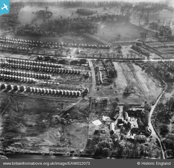
EAW012073 ENGLAND (1947). The Wollaton Sawmill and the surrounding residential area, Wollaton, 1947
© Copyright OpenStreetMap contributors and licensed by the OpenStreetMap Foundation. 2026. Cartography is licensed as CC BY-SA.
Nearby Images (7)
EAW012073

EAW012076

EAW012074

EAW012077

EAW012075

EAW012066

EAW012064

Details
| Title | [EAW012073] The Wollaton Sawmill and the surrounding residential area, Wollaton, 1947 |
| Reference | EAW012073 |
| Date | 5-November-1947 |
| Link | |
| Place name | WOLLATON |
| Parish | |
| District | |
| Country | ENGLAND |
| Easting / Northing | 453378, 340178 |
| Longitude / Latitude | -1.2053476797895, 52.956003527479 |
| National Grid Reference | SK534402 |
Pins

Class31 |
Saturday 23rd of May 2015 07:23:46 PM |
