
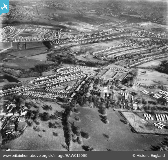
EAW012069 ENGLAND (1947). The Wollaton Park prisoner of war camp and the surrounding residential area, Wollaton, 1947
© Copyright OpenStreetMap contributors and licensed by the OpenStreetMap Foundation. 2026. Cartography is licensed as CC BY-SA.
Nearby Images (8)
EAW012069

EAW012058

EPW021778

EAW012059

EPW021776

EPW021805

EPW021804

EPW021779

Details
| Title | [EAW012069] The Wollaton Park prisoner of war camp and the surrounding residential area, Wollaton, 1947 |
| Reference | EAW012069 |
| Date | 5-November-1947 |
| Link | |
| Place name | WOLLATON |
| Parish | |
| District | |
| Country | ENGLAND |
| Easting / Northing | 452999, 339959 |
| Longitude / Latitude | -1.2110251984088, 52.95407242604 |
| National Grid Reference | SK530400 |
Pins
Be the first to add a comment to this image!