
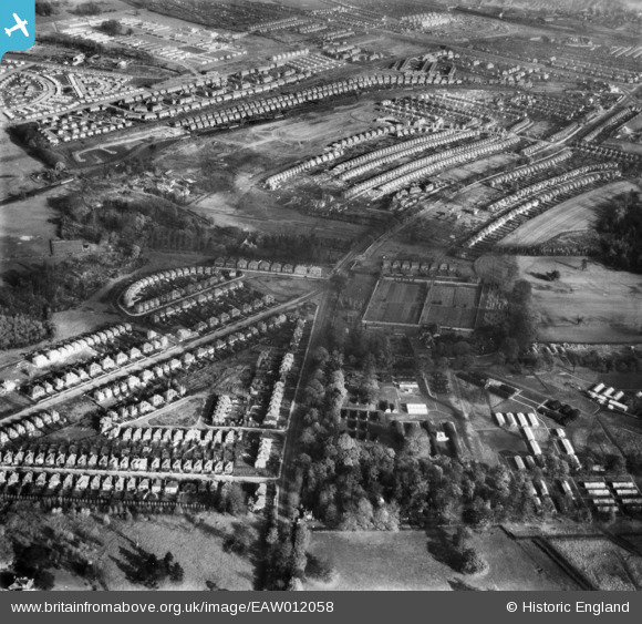
EAW012058 ENGLAND (1947). The residential area at Tranby Gardens and Wollaton Road, Wollaton, 1947
© Copyright OpenStreetMap contributors and licensed by the OpenStreetMap Foundation. 2026. Cartography is licensed as CC BY-SA.
Nearby Images (6)
EAW012058

EAW012069

EAW012059

EAW012075

EAW012077

EAW012066

Details
| Title | [EAW012058] The residential area at Tranby Gardens and Wollaton Road, Wollaton, 1947 |
| Reference | EAW012058 |
| Date | 5-November-1947 |
| Link | |
| Place name | WOLLATON |
| Parish | |
| District | |
| Country | ENGLAND |
| Easting / Northing | 453086, 339963 |
| Longitude / Latitude | -1.2097295432962, 52.954099780527 |
| National Grid Reference | SK531400 |
Pins
Be the first to add a comment to this image!