
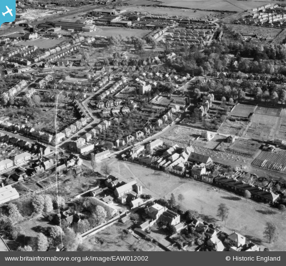
EAW012002 ENGLAND (1947). The town, West Drayton, 1947. This image was marked by Aerofilms Ltd for photo editing.
© Copyright OpenStreetMap contributors and licensed by the OpenStreetMap Foundation. 2026. Cartography is licensed as CC BY-SA.
Nearby Images (7)
EAW012002

EAW011999
, West Drayton, 1947. This image was marked by Aerofilms Ltd for photo editing.")
EAW011998
 and environs, West Drayton, 1947")
EAW012003
 and the town, West Drayton, 1947. This image was marked by Aerofilms Ltd for photo editing.")
EAW012001
 and environs, West Drayton, 1947. This image was marked by Aerofilms Ltd for photo editing.")
EAW011997

EAW012000
 and The Green, West Drayton, 1947. This image was marked by Aerofilms Ltd for photo editing.")
Details
| Title | [EAW012002] The town, West Drayton, 1947. This image was marked by Aerofilms Ltd for photo editing. |
| Reference | EAW012002 |
| Date | 3-November-1947 |
| Link | |
| Place name | WEST DRAYTON |
| Parish | |
| District | |
| Country | ENGLAND |
| Easting / Northing | 506018, 179508 |
| Longitude / Latitude | -0.47232034872943, 51.50406627102 |
| National Grid Reference | TQ060795 |
Pins

John Stephenson |
Saturday 23rd of January 2021 06:26:30 PM | |
|
John Stephenson |
Saturday 23rd of January 2021 06:25:21 PM | |
|
John Stephenson |
Saturday 23rd of January 2021 06:24:28 PM | |
|
John Stephenson |
Saturday 23rd of January 2021 06:23:20 PM | |
|
John Stephenson |
Saturday 23rd of January 2021 06:22:43 PM | |
|
John Stephenson |
Saturday 23rd of January 2021 06:19:55 PM | |
|
jif |
Friday 6th of June 2014 05:27:47 PM | |
Not in 1947 it wasn't. And what about South Wales, Worcester, Penzance, Gloucester and everywhere else on God's Wonderful Railway ? |
gBr |
Saturday 17th of January 2015 08:07:33 AM |