
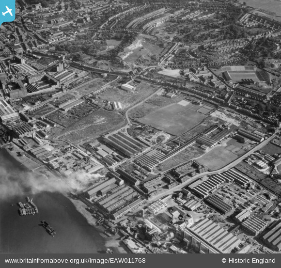
EAW011768 ENGLAND (1947). J. Stone and Company Limited Foundry and environs, New Charlton, 1947
© Copyright OpenStreetMap contributors and licensed by the OpenStreetMap Foundation. 2026. Cartography is licensed as CC BY-SA.
Nearby Images (8)
EAW011768

EAW011771

EAW011770

EAW011769

EPW051040

EAW011773

EAW011775

EAW011774

Details
| Title | [EAW011768] J. Stone and Company Limited Foundry and environs, New Charlton, 1947 |
| Reference | EAW011768 |
| Date | 9-October-1947 |
| Link | |
| Place name | NEW CHARLTON |
| Parish | |
| District | |
| Country | ENGLAND |
| Easting / Northing | 541289, 178925 |
| Longitude / Latitude | 0.03538613198586, 51.491109434774 |
| National Grid Reference | TQ413789 |
Pins
User Comment Contributions
this is where valley tyres used to be. |

baldwinnut |
Monday 21st of January 2013 02:59:28 PM |