
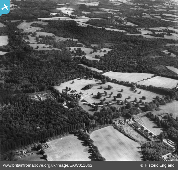
EAW011062 ENGLAND (1947). Handcross Park and the surrounding countryside, Handcross, 1947
© Copyright OpenStreetMap contributors and licensed by the OpenStreetMap Foundation. 2026. Cartography is licensed as CC BY-SA.
Nearby Images (9)
EAW011062

EAW011039

EAW011045

EAW011060

EAW011044

EAW011063

EAW011040

EAW011043

EAW011046

Details
| Title | [EAW011062] Handcross Park and the surrounding countryside, Handcross, 1947 |
| Reference | EAW011062 |
| Date | 25-September-1947 |
| Link | |
| Place name | HANDCROSS |
| Parish | SLAUGHAM |
| District | |
| Country | ENGLAND |
| Easting / Northing | 526702, 130580 |
| Longitude / Latitude | -0.19177620770015, 51.06002658268 |
| National Grid Reference | TQ267306 |
Pins
Be the first to add a comment to this image!