
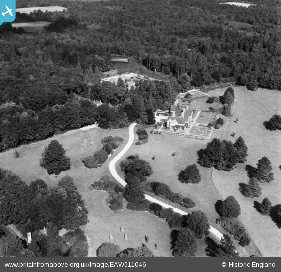
EAW011046 ENGLAND (1947). Handcross Park, Handcross, 1947
© Copyright OpenStreetMap contributors and licensed by the OpenStreetMap Foundation. 2026. Cartography is licensed as CC BY-SA.
Nearby Images (12)
EAW011046

EAW011064

EAW011043

EAW011040

EAW011065

EAW011044

EAW011045

EAW011039

EAW011060

EAW011061

EAW011063

EAW011062

Details
| Title | [EAW011046] Handcross Park, Handcross, 1947 |
| Reference | EAW011046 |
| Date | 25-September-1947 |
| Link | |
| Place name | HANDCROSS |
| Parish | SLAUGHAM |
| District | |
| Country | ENGLAND |
| Easting / Northing | 526458, 130727 |
| Longitude / Latitude | -0.19520520494064, 51.06140172803 |
| National Grid Reference | TQ265307 |
Pins
Be the first to add a comment to this image!