
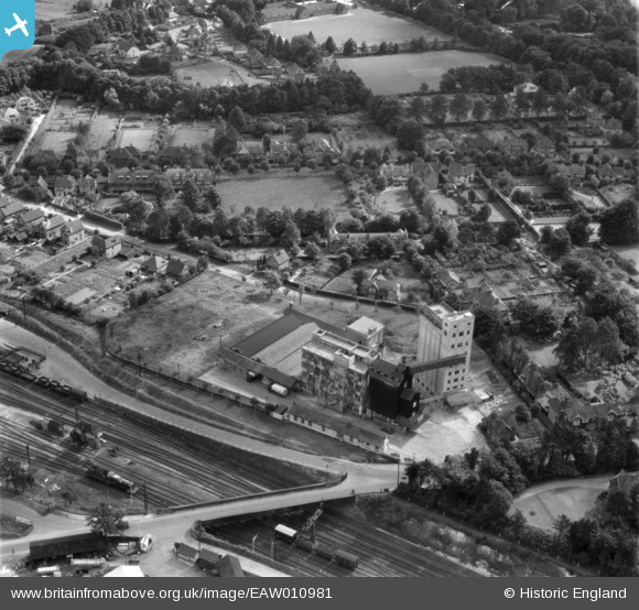
EAW010981 ENGLAND (1947). Junction Flour Mills, Andover, 1947
© Copyright OpenStreetMap contributors and licensed by the OpenStreetMap Foundation. 2026. Cartography is licensed as CC BY-SA.
Nearby Images (21)
EAW010981

EAW010980

EAW010977

EAW051074

EAW010971

EAW010973

EAW051075

EPW022739

EAW010979

EAW051070

EAW010976

EAW010972

EAW010978

EAW010974

EAW051071

EAW051069

EAW051072

EPW022741

EAW051073

EAW051068

EAW010975

Details
| Title | [EAW010981] Junction Flour Mills, Andover, 1947 |
| Reference | EAW010981 |
| Date | 24-October-1947 |
| Link | |
| Place name | ANDOVER |
| Parish | ANDOVER |
| District | |
| Country | ENGLAND |
| Easting / Northing | 435370, 145704 |
| Longitude / Latitude | -1.4936081530105, 51.208929198612 |
| National Grid Reference | SU354457 |
Pins

3440 |
Monday 24th of October 2016 09:45:35 PM | |
|
3440 |
Monday 24th of October 2016 09:36:29 PM | |
|
3440 |
Monday 24th of October 2016 09:34:44 PM | |
|
MB |
Saturday 23rd of November 2013 06:16:25 PM | |
|
MB |
Saturday 23rd of November 2013 06:16:00 PM | |
|
MB |
Saturday 23rd of November 2013 06:15:25 PM |
User Comment Contributions
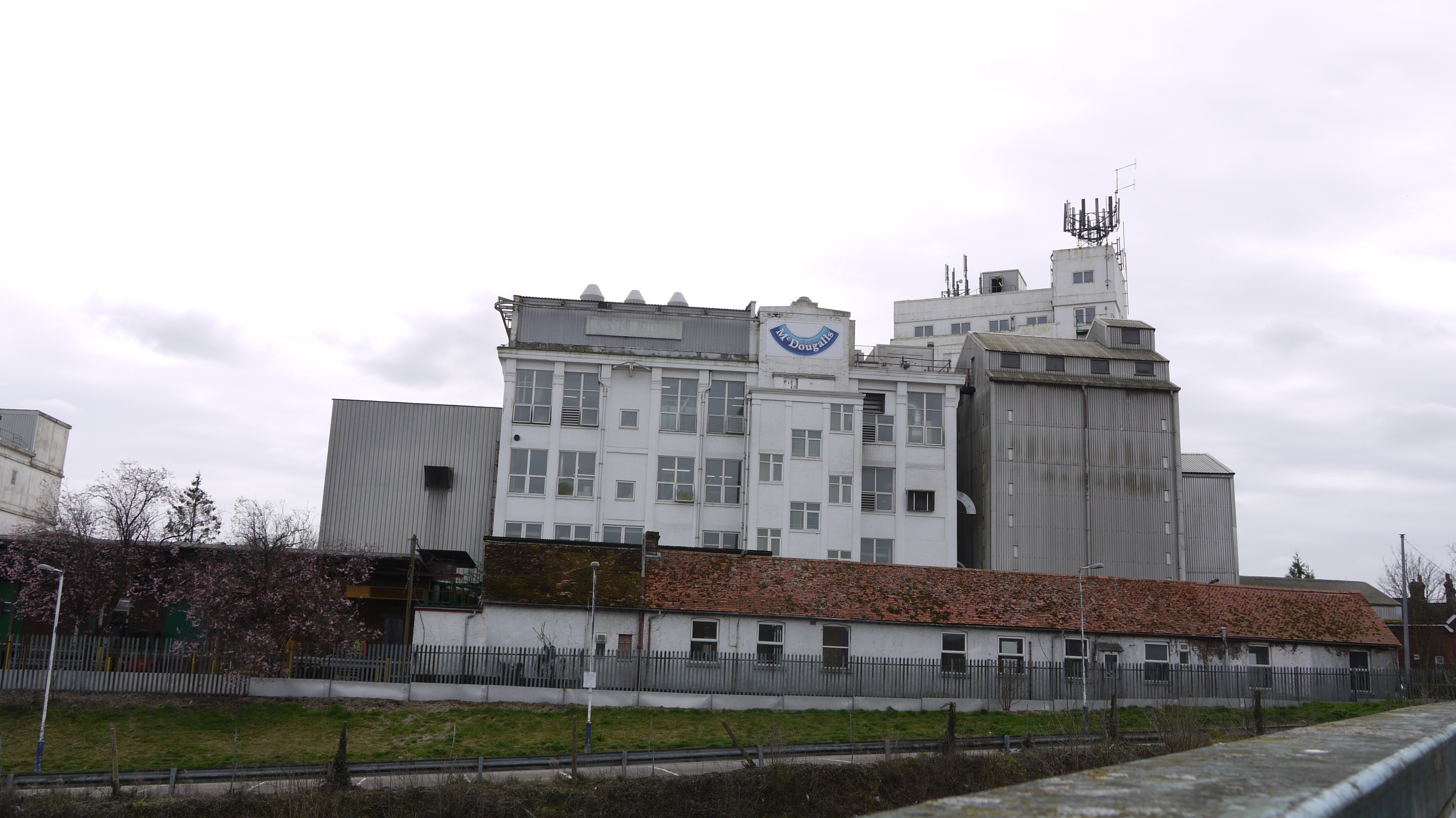
McDougall's Flour Mills, Andover, 30/03/2015 |

Class31 |
Tuesday 31st of March 2015 05:45:13 PM |