
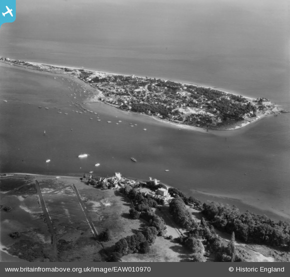
EAW010970 ENGLAND (1947). Sandbanks and Poole Harbour Main Channel, Sandbanks, from the north-west, 1947
© Copyright OpenStreetMap contributors and licensed by the OpenStreetMap Foundation. 2026. Cartography is licensed as CC BY-SA.
Nearby Images (5)
EAW010970

EPW041057

EPW041058

EAW010962

EAW019958

Details
| Title | [EAW010970] Sandbanks and Poole Harbour Main Channel, Sandbanks, from the north-west, 1947 |
| Reference | EAW010970 |
| Date | 24-September-1947 |
| Link | |
| Place name | SANDBANKS |
| Parish | |
| District | |
| Country | ENGLAND |
| Easting / Northing | 403407, 87650 |
| Longitude / Latitude | -1.9517644185842, 50.687914563014 |
| National Grid Reference | SZ034877 |
Pins

redmist |
Monday 25th of March 2024 08:29:47 PM | |

Matt Aldred edob.mattaldred.com |
Thursday 12th of November 2020 09:09:20 PM | |
|
Matt Aldred edob.mattaldred.com |
Thursday 12th of November 2020 09:06:27 PM | |
|
redmist |
Sunday 9th of August 2020 11:50:01 AM | |
|
redmist |
Sunday 9th of August 2020 11:49:38 AM | |

Class31 |
Monday 10th of November 2014 12:52:08 PM | |
|
Class31 |
Monday 10th of November 2014 12:51:32 PM |


User Comment Contributions
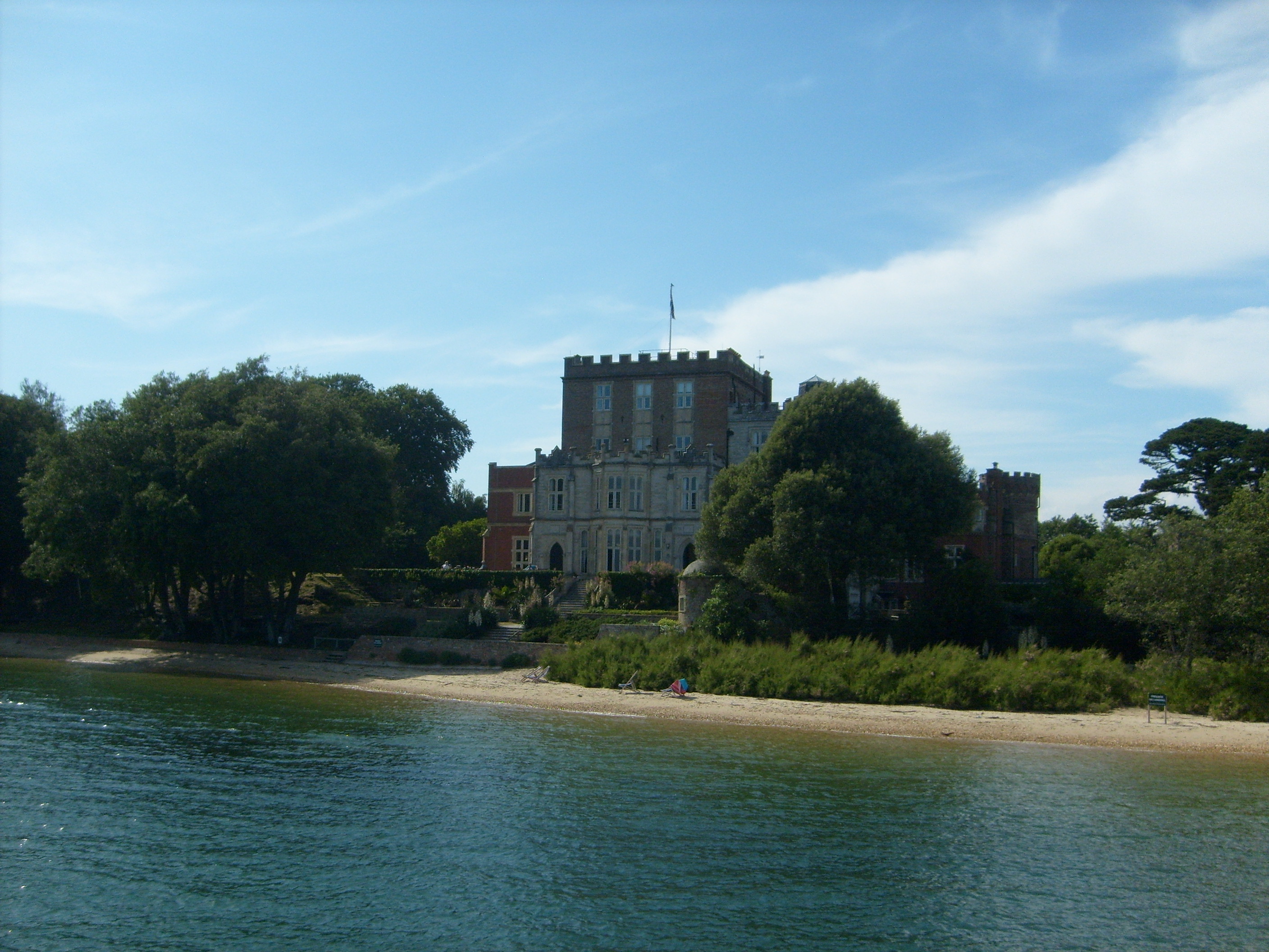
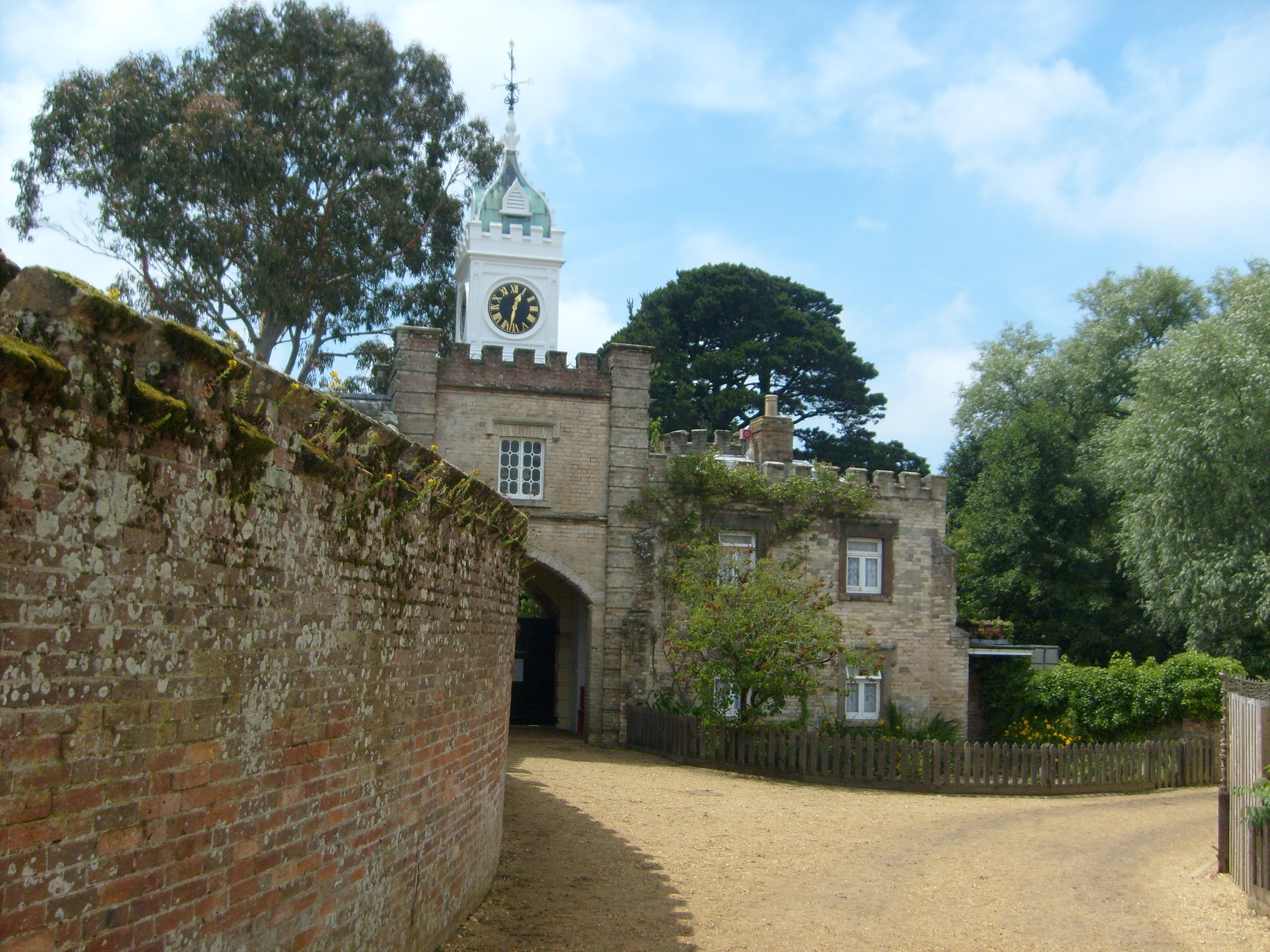
Branksea Castle, Brownsea Island, 26/06/2009 |
Class31 |
Monday 10th of November 2014 12:50:48 PM |
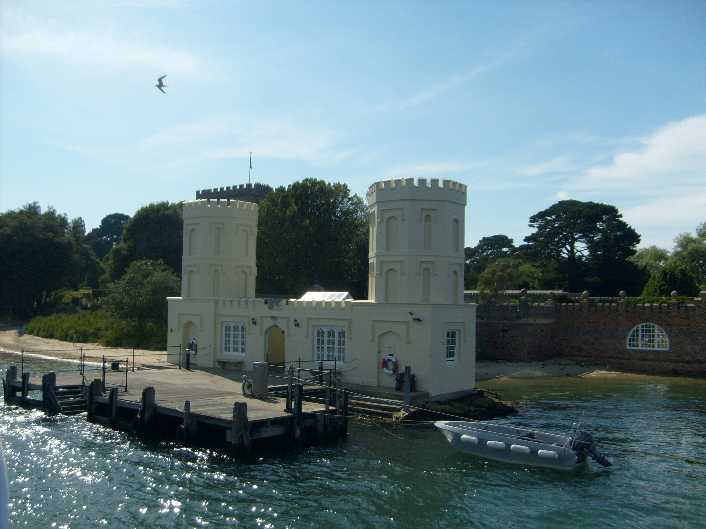
Brownsea Island, 26/06/2009 |
Class31 |
Monday 10th of November 2014 12:50:16 PM |
Brownsea Island, 26/06/2009 |
Class31 |
Monday 10th of November 2014 12:49:53 PM |
Brownsea Island, 26/06/2009 |
Class31 |
Monday 10th of November 2014 12:49:24 PM |
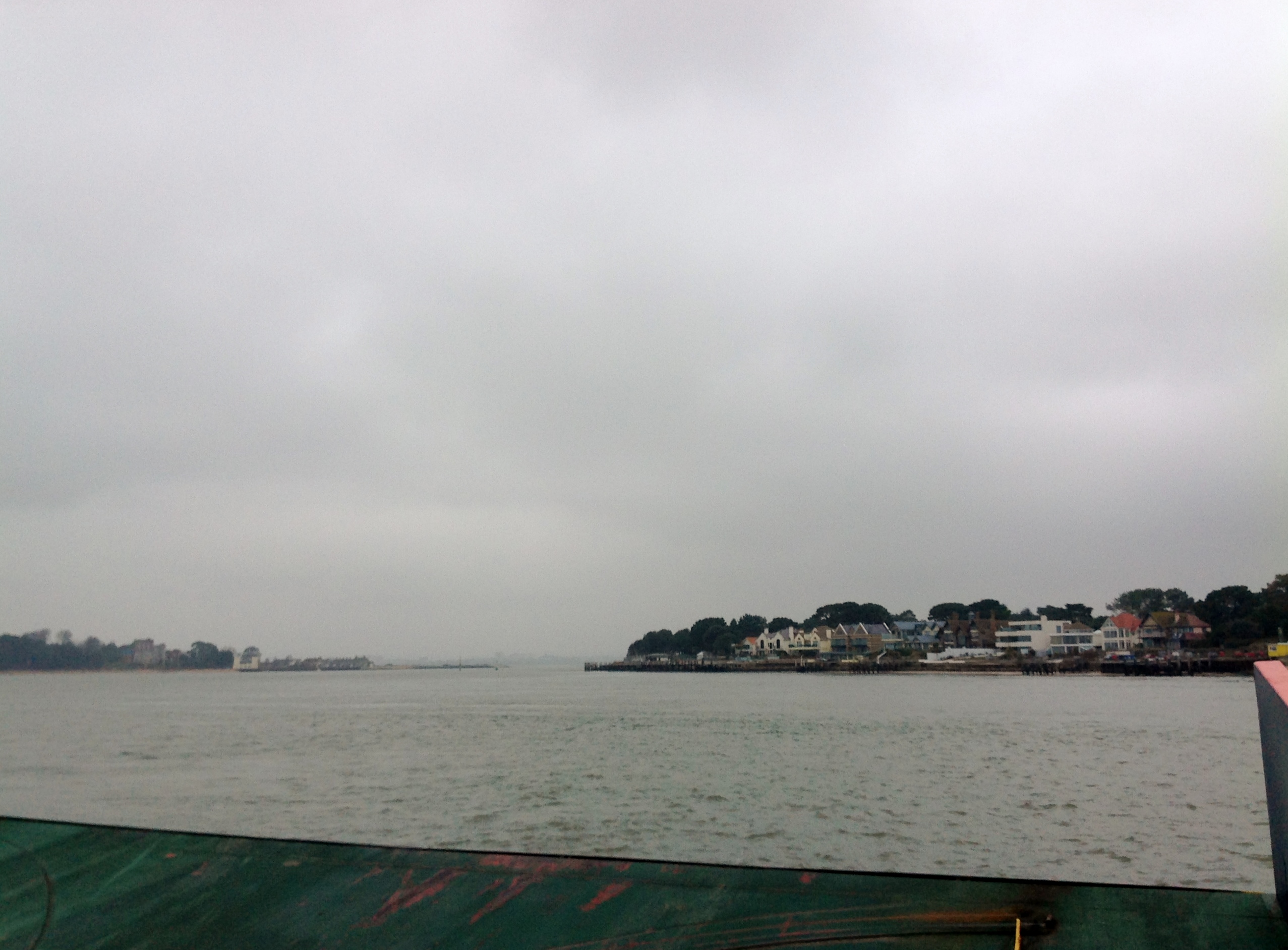
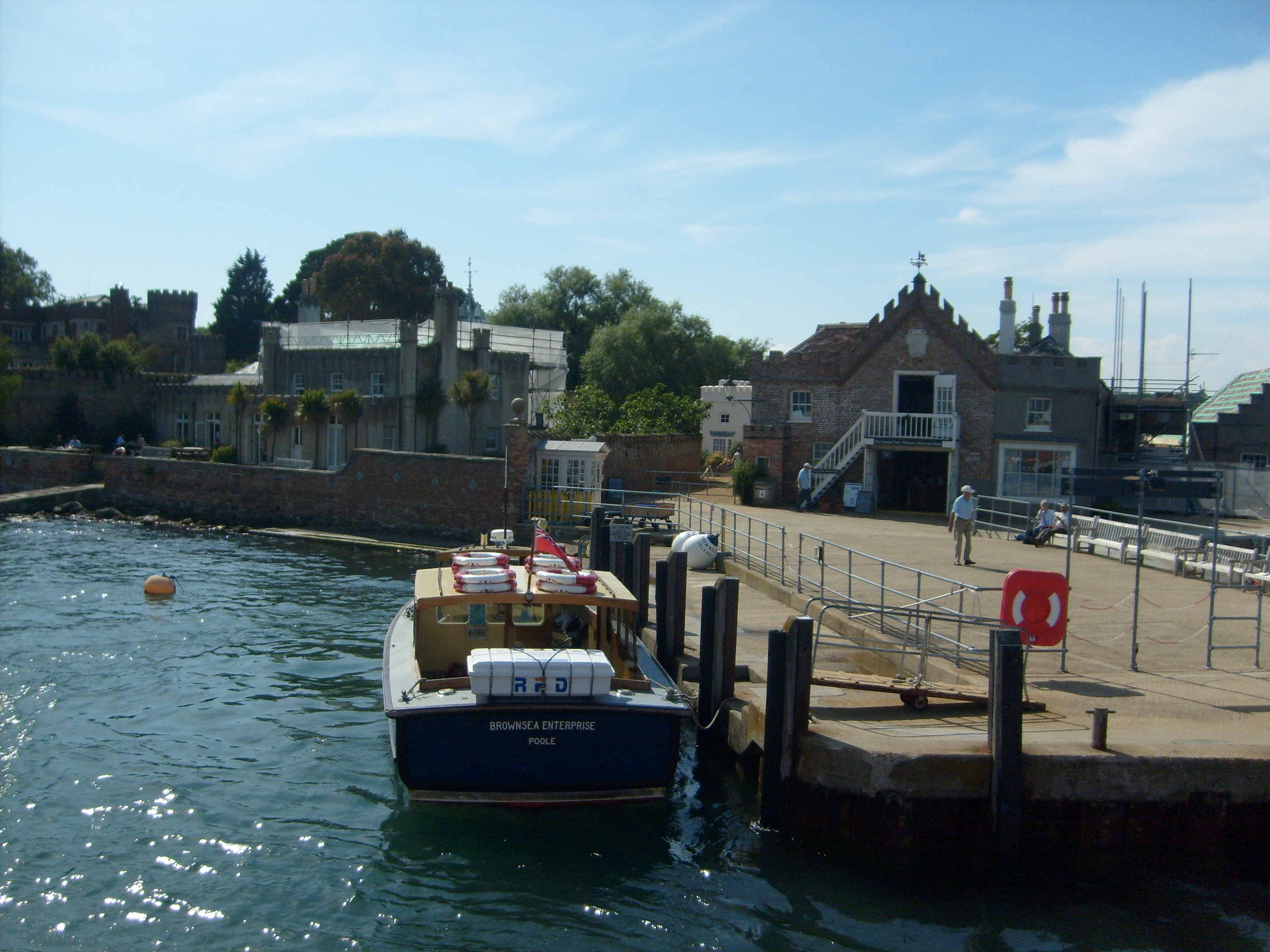
Sandbanks and Brownsea Island from the chain ferry 30/01/2014 |
Class31 |
Friday 31st of January 2014 11:25:29 AM |