
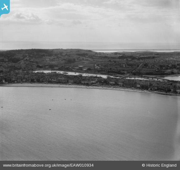
EAW010934 ENGLAND (1947). Weymouth and Backwater Harbour, Weymouth, from the north-east, 1947
© Copyright OpenStreetMap contributors and licensed by the OpenStreetMap Foundation. 2026. Cartography is licensed as CC BY-SA.
Nearby Images (6)
EAW010934

EAW010935

EAW002987

EAW010933

EPW013677

EAW010937

Details
| Title | [EAW010934] Weymouth and Backwater Harbour, Weymouth, from the north-east, 1947 |
| Reference | EAW010934 |
| Date | 24-September-1947 |
| Link | |
| Place name | WEYMOUTH |
| Parish | |
| District | |
| Country | ENGLAND |
| Easting / Northing | 368362, 79203 |
| Longitude / Latitude | -2.4471950975819, 50.611095537474 |
| National Grid Reference | SY684792 |
Pins

Class31 |
Friday 30th of May 2014 09:46:53 PM |
