
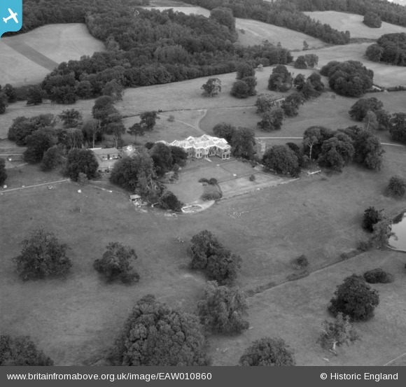
EAW010860 ENGLAND (1947). Buckland House and St Mary's Church, Buckland Filleigh, 1947
© Copyright OpenStreetMap contributors and licensed by the OpenStreetMap Foundation. 2026. Cartography is licensed as CC BY-SA.
Nearby Images (8)
EAW010860

EAW010865

EAW010862

EAW010859

EAW010863

EAW010864

EAW010861

EAW010857

Details
| Title | [EAW010860] Buckland House and St Mary's Church, Buckland Filleigh, 1947 |
| Reference | EAW010860 |
| Date | 20-September-1947 |
| Link | |
| Place name | BUCKLAND FILLEIGH |
| Parish | BUCKLAND FILLEIGH |
| District | |
| Country | ENGLAND |
| Easting / Northing | 246473, 109115 |
| Longitude / Latitude | -4.1817265629372, 50.860578511949 |
| National Grid Reference | SS465091 |
Pins
Be the first to add a comment to this image!