
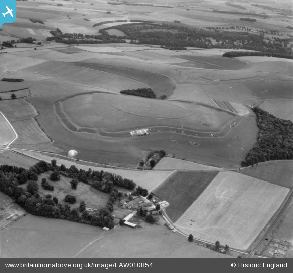
EAW010854 ENGLAND (1947). Scratchbury Hillfort and Middleton Farm, Scratchbury Hill, 1947
© Copyright OpenStreetMap contributors and licensed by the OpenStreetMap Foundation. 2026. Cartography is licensed as CC BY-SA.
Nearby Images (2)
EAW010854

EAW010853

Details
| Title | [EAW010854] Scratchbury Hillfort and Middleton Farm, Scratchbury Hill, 1947 |
| Reference | EAW010854 |
| Date | 17-September-1947 |
| Link | |
| Place name | SCRATCHBURY HILL |
| Parish | NORTON BAVANT |
| District | |
| Country | ENGLAND |
| Easting / Northing | 391016, 144324 |
| Longitude / Latitude | -2.1285917750382, 51.197543866924 |
| National Grid Reference | ST910443 |
Pins

Matt Aldred edob.mattaldred.com |
Friday 11th of April 2025 07:57:39 PM | |

Class31 |
Monday 5th of May 2014 07:06:29 PM | |
|
Class31 |
Monday 5th of May 2014 07:05:36 PM | |
|
Class31 |
Monday 5th of May 2014 07:03:56 PM | |
|
Class31 |
Monday 5th of May 2014 07:02:35 PM | |
|
Class31 |
Monday 5th of May 2014 06:59:40 PM | |
|
Class31 |
Sunday 8th of December 2013 09:45:13 AM | |
|
Class31 |
Sunday 8th of December 2013 09:42:50 AM |
User Comment Contributions
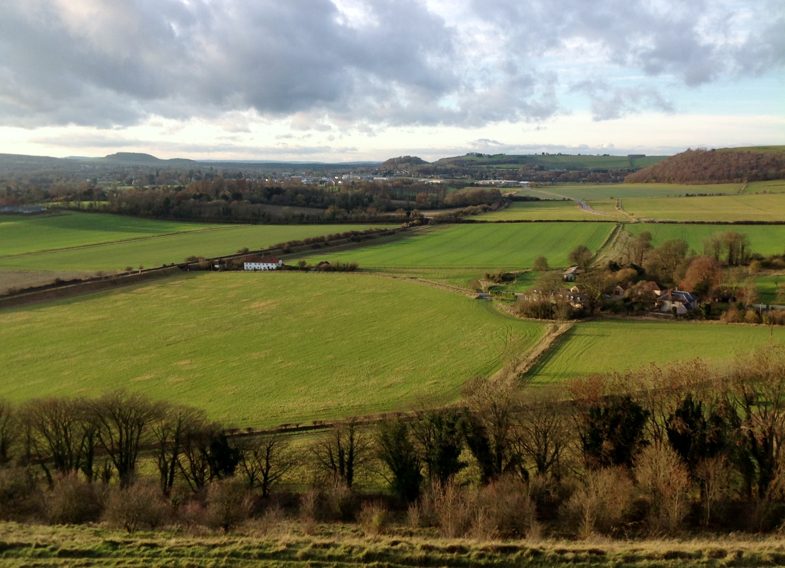
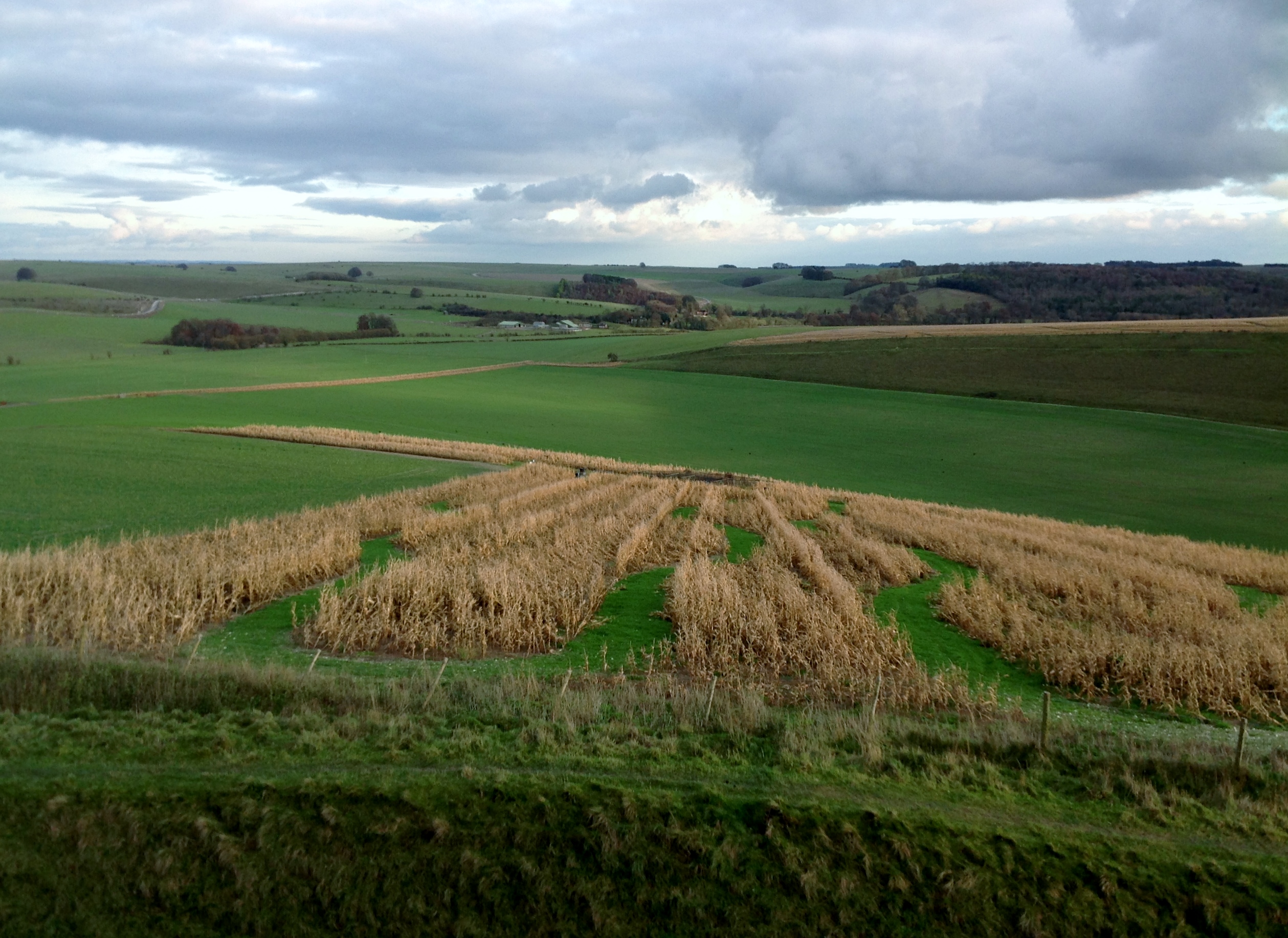
Looking north from Scratchbury Hill towards Middleton Farm 08/12/2013 |
Class31 |
Sunday 8th of December 2013 04:15:45 PM |
Looking north from Scratchbury Hill towards Middleton Farm 08/12/2013 |
Class31 |
Sunday 8th of December 2013 04:14:24 PM |
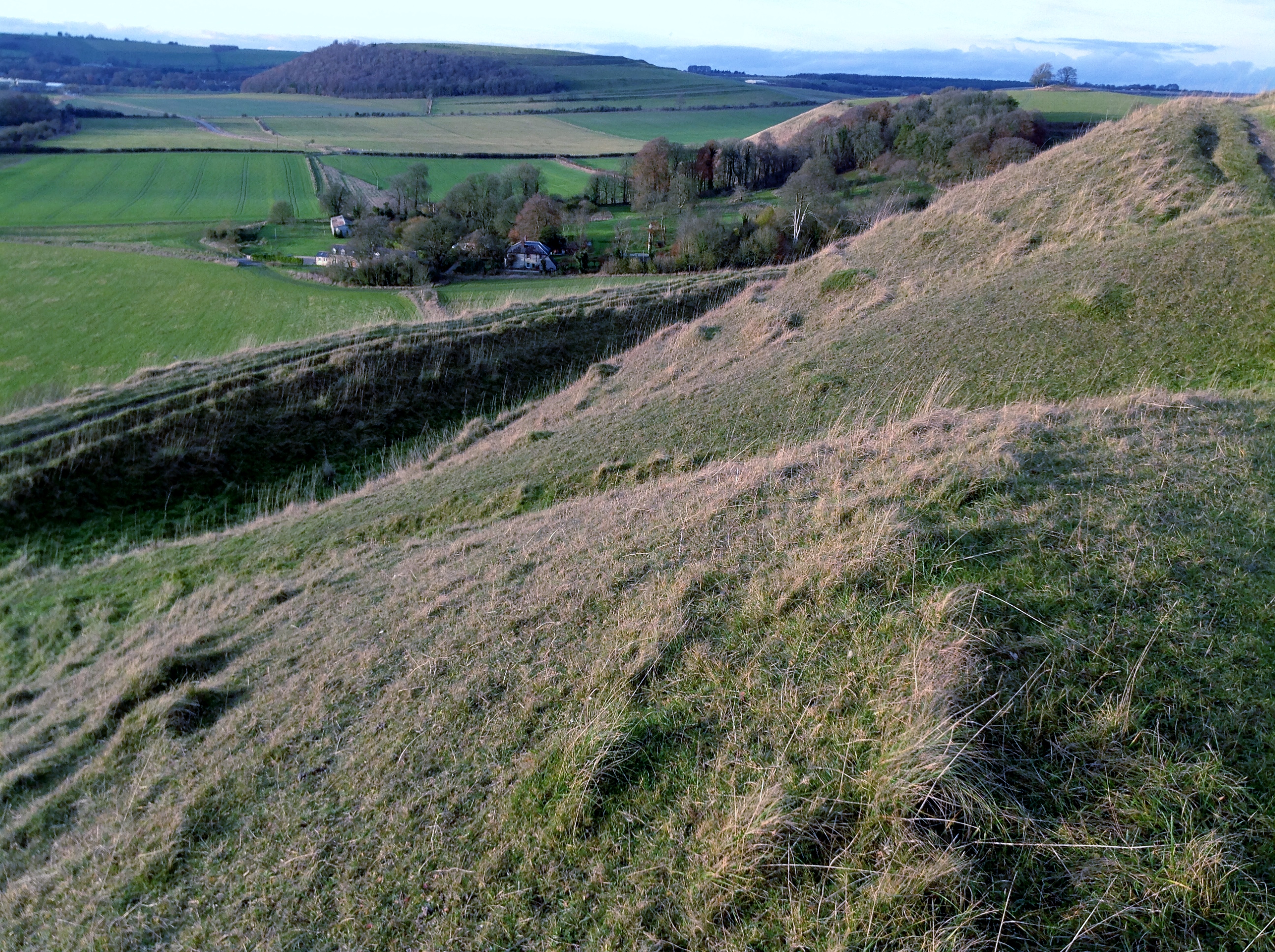
Looking south east from Scratchbury Hill towards Cotley Hill with Norton Plantation on the right |
Class31 |
Sunday 8th of December 2013 04:12:13 PM |
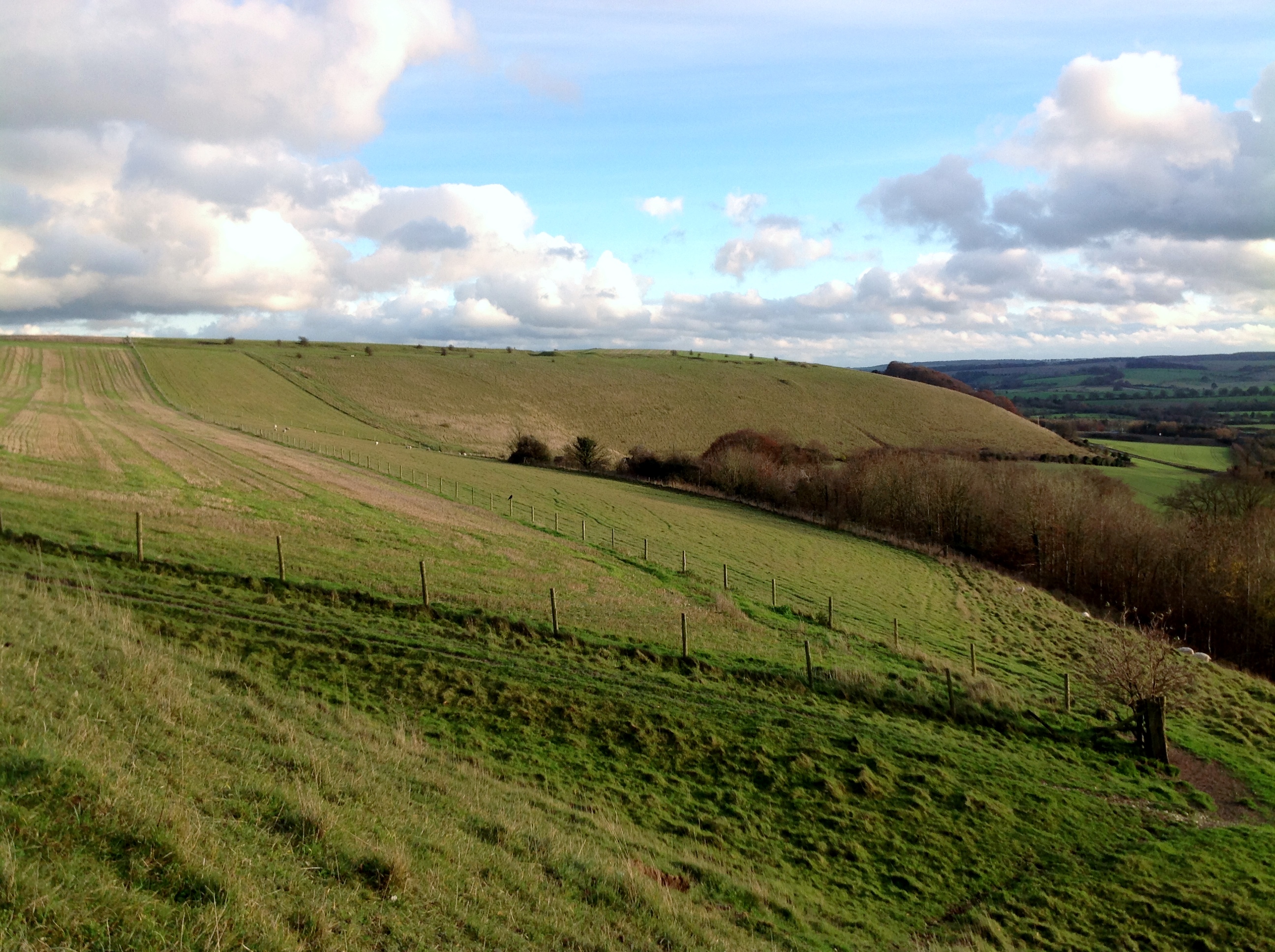
Looking east from Scratchbury Hill towards West Hill Farm 08/12/2013 |
Class31 |
Sunday 8th of December 2013 04:08:28 PM |
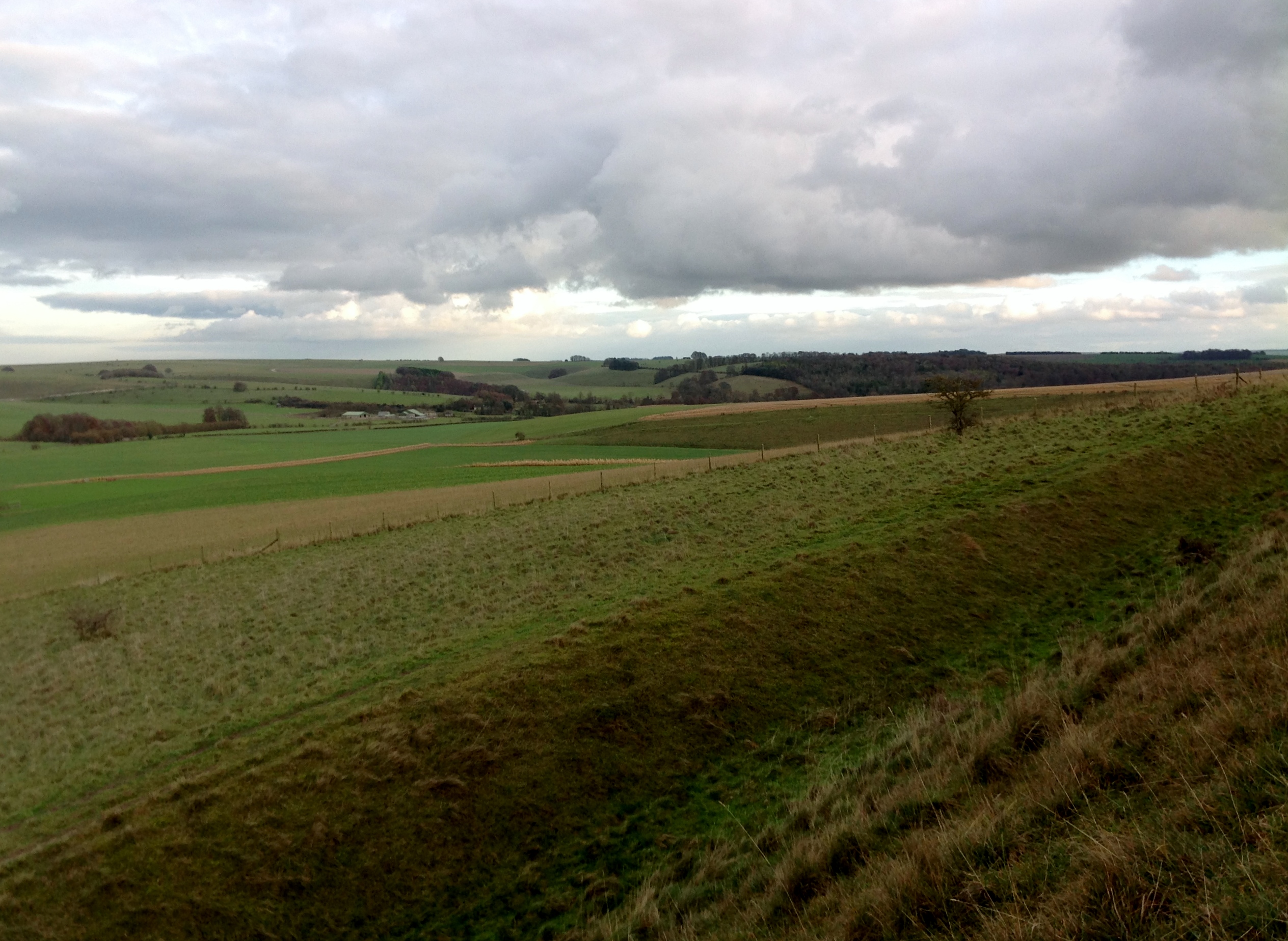
Looking east from Scratchbury Hill towards West Hill Farm 08/12/2013 14.43hrs |
Class31 |
Sunday 8th of December 2013 04:06:15 PM |
View looking east. |
Class31 |
Sunday 8th of December 2013 09:45:48 AM |