
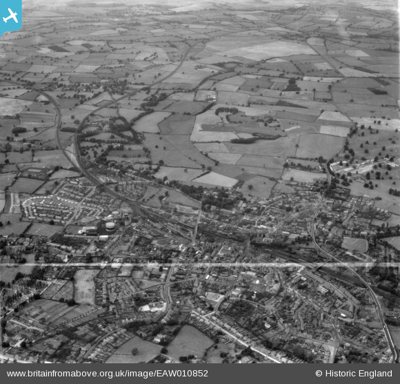
EAW010852 ENGLAND (1947). The town and Dothill Park, Wellington, from the south, 1947. This image was marked by Aerofilms Ltd for photo editing.
© Copyright OpenStreetMap contributors and licensed by the OpenStreetMap Foundation. 2026. Cartography is licensed as CC BY-SA.
Nearby Images (12)
EAW010852

EAW006760

EAW006759

EAW006761

EAW006804

EAW006802

EAW006803

EPW034033

EAW006814

EAW006813

EAW006815

EAW010851

Details
| Title | [EAW010852] The town and Dothill Park, Wellington, from the south, 1947. This image was marked by Aerofilms Ltd for photo editing. |
| Reference | EAW010852 |
| Date | 13-October-1947 |
| Link | |
| Place name | WELLINGTON |
| Parish | WELLINGTON |
| District | |
| Country | ENGLAND |
| Easting / Northing | 364880, 311580 |
| Longitude / Latitude | -2.5197785899757, 52.700410848635 |
| National Grid Reference | SJ649116 |
Pins
Be the first to add a comment to this image!