
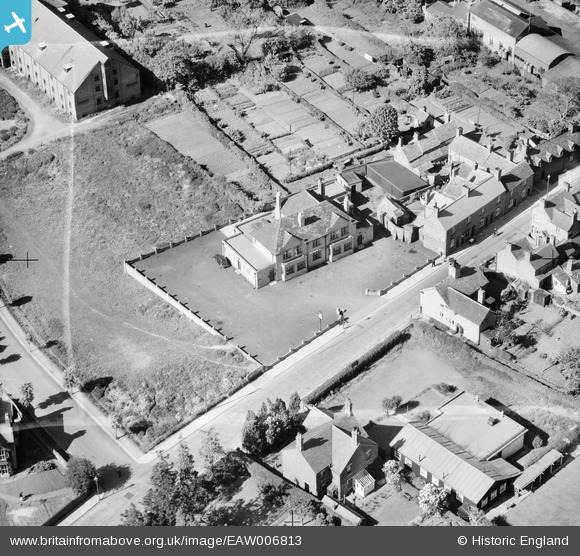
EAW006813 ENGLAND (1947). The Haygate Pub, Wellington, 1947. This image was marked by Aerofilms Ltd for photo editing.
© Copyright OpenStreetMap contributors and licensed by the OpenStreetMap Foundation. 2026. Cartography is licensed as CC BY-SA.
Nearby Images (8)
EAW006813

EAW006815

EAW006814

EPW034036

EAW010852

EAW006760

EAW006761

EAW006759

Details
| Title | [EAW006813] The Haygate Pub, Wellington, 1947. This image was marked by Aerofilms Ltd for photo editing. |
| Reference | EAW006813 |
| Date | 28-May-1947 |
| Link | |
| Place name | WELLINGTON |
| Parish | WELLINGTON |
| District | |
| Country | ENGLAND |
| Easting / Northing | 364735, 311386 |
| Longitude / Latitude | -2.5219036998079, 52.698657303387 |
| National Grid Reference | SJ647114 |
Pins
Be the first to add a comment to this image!