
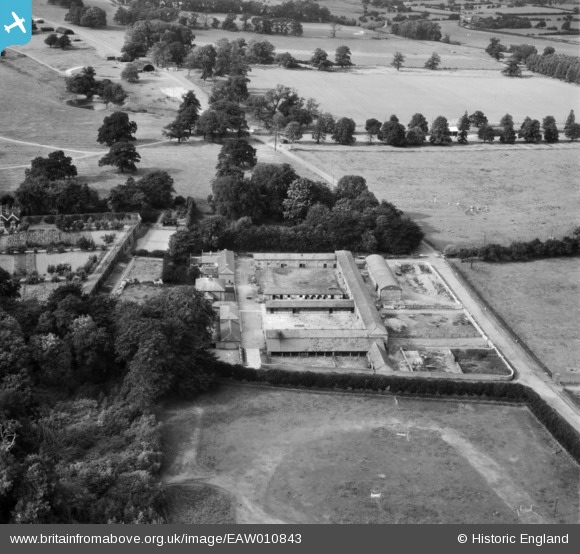
EAW010843 ENGLAND (1947). Home Farm, Ingestre, 1947
© Copyright OpenStreetMap contributors and licensed by the OpenStreetMap Foundation. 2026. Cartography is licensed as CC BY-SA.
Nearby Images (6)
EAW010843

EAW010844

EAW010841

EAW010842

EAW010840

EAW010838

Details
| Title | [EAW010843] Home Farm, Ingestre, 1947 |
| Reference | EAW010843 |
| Date | 13-September-1947 |
| Link | |
| Place name | INGESTRE |
| Parish | INGESTRE |
| District | |
| Country | ENGLAND |
| Easting / Northing | 397914, 324832 |
| Longitude / Latitude | -2.0309580123609, 52.820689297638 |
| National Grid Reference | SJ979248 |
Pins
Be the first to add a comment to this image!