
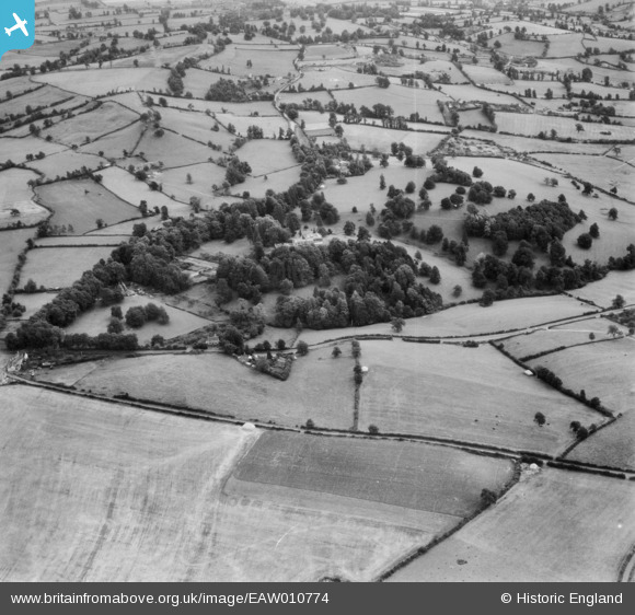
EAW010774 ENGLAND (1947). Kingwell Hall, Cross Ways, 1947
© Copyright OpenStreetMap contributors and licensed by the OpenStreetMap Foundation. 2025. Cartography is licensed as CC BY-SA.
Nearby Images (4)
EAW010774

EPR000026

EPR000024

EPR000025

Details
| Title | [EAW010774] Kingwell Hall, Cross Ways, 1947 |
| Reference | EAW010774 |
| Date | 17-September-1947 |
| Link | |
| Place name | CROSS WAYS |
| Parish | FARMBOROUGH |
| District | |
| Country | ENGLAND |
| Easting / Northing | 364636, 159300 |
| Longitude / Latitude | -2.507651347455, 51.331191712786 |
| National Grid Reference | ST646593 |
Pins
Be the first to add a comment to this image!