
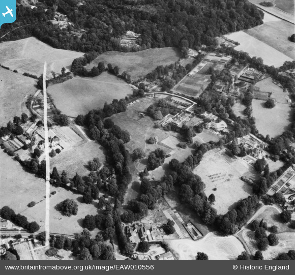
EAW010556 ENGLAND (1947). Gatton Road, Little Gatton and environs, Reigate, 1947. This image was marked by Aerofilms Ltd for photo editing.
© Copyright OpenStreetMap contributors and licensed by the OpenStreetMap Foundation. 2026. Cartography is licensed as CC BY-SA.
Nearby Images (8)
EAW010556

EAW010555

EPW036929

EAW010559

EAW010557

EAW010554

EAW010558

EPW036952

Details
| Title | [EAW010556] Gatton Road, Little Gatton and environs, Reigate, 1947. This image was marked by Aerofilms Ltd for photo editing. |
| Reference | EAW010556 |
| Date | 3-September-1947 |
| Link | |
| Place name | REIGATE |
| Parish | |
| District | |
| Country | ENGLAND |
| Easting / Northing | 526296, 151592 |
| Longitude / Latitude | -0.19019156468742, 51.248983804783 |
| National Grid Reference | TQ263516 |
