
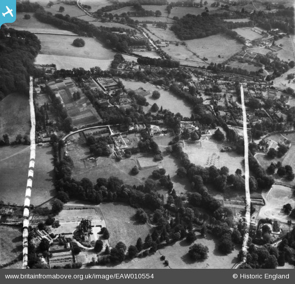
EAW010554 ENGLAND (1947). Gatton Road, Little Gatton and environs, Reigate, 1947. This image was marked by Aerofilms Ltd for photo editing.
© Copyright OpenStreetMap contributors and licensed by the OpenStreetMap Foundation. 2026. Cartography is licensed as CC BY-SA.
Nearby Images (9)
EAW010554

EAW010558

EAW010559

EAW010557

EPW036929

EAW010555

EAW010556

EPW036952

EPW036928

Details
| Title | [EAW010554] Gatton Road, Little Gatton and environs, Reigate, 1947. This image was marked by Aerofilms Ltd for photo editing. |
| Reference | EAW010554 |
| Date | 3-September-1947 |
| Link | |
| Place name | REIGATE |
| Parish | |
| District | |
| Country | ENGLAND |
| Easting / Northing | 526408, 151532 |
| Longitude / Latitude | -0.18860867075554, 51.248419682789 |
| National Grid Reference | TQ264515 |
Pins

Rob Stuart |
Friday 23rd of October 2020 04:39:06 PM | |
|
Rob Stuart |
Friday 23rd of October 2020 04:37:26 PM | |
|
Rob Stuart |
Friday 23rd of October 2020 04:35:03 PM | |

Class31 |
Wednesday 5th of March 2014 11:08:29 AM | |
|
Class31 |
Wednesday 5th of March 2014 10:52:01 AM | |
|
Class31 |
Wednesday 5th of March 2014 10:51:37 AM | |
|
Class31 |
Wednesday 5th of March 2014 10:51:08 AM |
User Comment Contributions
View looking east. |
Class31 |
Wednesday 5th of March 2014 10:50:48 AM |