
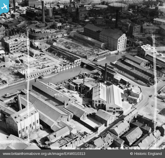
EAW010313 ENGLAND (1947). The John M Hamilton & Co Ltd Sculcoates Bridge Works and environs, Kingston upon Hull, 1947. This image was marked by Aerofilms Ltd for photo editing.
© Copyright OpenStreetMap contributors and licensed by the OpenStreetMap Foundation. 2026. Cartography is licensed as CC BY-SA.
Nearby Images (23)
EAW010313

EAW010311

EAW010312

EAW010314

EAW010317

EAW010318

EAW010315

EAW010310

EAW010319

EAW010316

EPW053411

EAW010320

EPW053407

EPW053410

EAW010309

EPW053412

EPW053409

EPW053413

EPW036523

EPW012694

EPW036531

EPW009397

EPW036536

Details
| Title | [EAW010313] The John M Hamilton & Co Ltd Sculcoates Bridge Works and environs, Kingston upon Hull, 1947. This image was marked by Aerofilms Ltd for photo editing. |
| Reference | EAW010313 |
| Date | 25-August-1947 |
| Link | |
| Place name | KINGSTON UPON HULL |
| Parish | |
| District | |
| Country | ENGLAND |
| Easting / Northing | 510260, 429967 |
| Longitude / Latitude | -0.32751794269349, 53.754165372809 |
| National Grid Reference | TA103300 |
Pins

Giddo |
Tuesday 7th of January 2020 10:41:38 AM | |
|
Giddo |
Tuesday 7th of January 2020 10:40:19 AM | |
|
John Wass |
Tuesday 23rd of September 2014 03:20:03 PM | |
|
John Wass |
Tuesday 23rd of September 2014 03:18:57 PM | |

David Jessop |
Thursday 30th of January 2014 09:50:18 PM |