
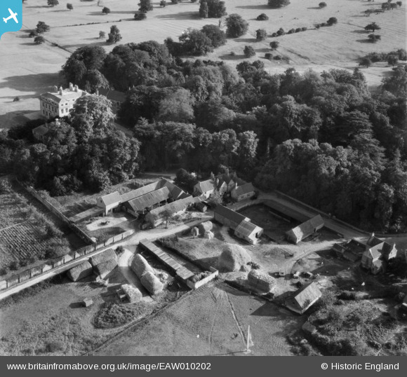
EAW010202 ENGLAND (1947). The village, Winkburn, 1947
© Copyright OpenStreetMap contributors and licensed by the OpenStreetMap Foundation. 2026. Cartography is licensed as CC BY-SA.
Nearby Images (9)
EAW010202

EAW010201

EAW010203

EAW010198

EAW010199

EAW010200

EAW010206

EAW010205

EAW010204

Details
| Title | [EAW010202] The village, Winkburn, 1947 |
| Reference | EAW010202 |
| Date | 29-August-1947 |
| Link | |
| Place name | WINKBURN |
| Parish | WINKBURN |
| District | |
| Country | ENGLAND |
| Easting / Northing | 471099, 358401 |
| Longitude / Latitude | -0.9375544790488, 53.117746936685 |
| National Grid Reference | SK711584 |
Pins

Peter |
Wednesday 26th of August 2015 10:19:51 PM |
