
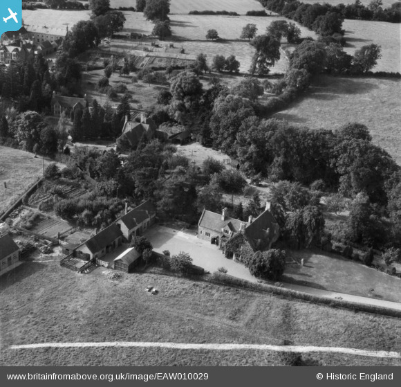
EAW010029 ENGLAND (1947). Amberstones, Horninghold, 1947. This image was marked by Aerofilms Ltd for photo editing.
© Copyright OpenStreetMap contributors and licensed by the OpenStreetMap Foundation. 2026. Cartography is licensed as CC BY-SA.
Nearby Images (8)
EAW010029

EAW010026

EAW010023

EAW010027

EAW010024

EAW010025

EAW010030

EAW010028

Details
| Title | [EAW010029] Amberstones, Horninghold, 1947. This image was marked by Aerofilms Ltd for photo editing. |
| Reference | EAW010029 |
| Date | 29-August-1947 |
| Link | |
| Place name | HORNINGHOLD |
| Parish | HORNINGHOLD |
| District | |
| Country | ENGLAND |
| Easting / Northing | 480956, 297250 |
| Longitude / Latitude | -0.80547442896542, 52.566687205214 |
| National Grid Reference | SP810973 |
Pins
Be the first to add a comment to this image!