
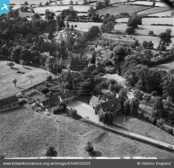
EAW010023 ENGLAND (1947). Amberstones and environs, Horninghold, 1947. This image has been produced from a damaged negative.
© Copyright OpenStreetMap contributors and licensed by the OpenStreetMap Foundation. 2026. Cartography is licensed as CC BY-SA.
Nearby Images (8)
EAW010023

EAW010029

EAW010026

EAW010025

EAW010028

EAW010024

EAW010027

EAW010030

Details
| Title | [EAW010023] Amberstones and environs, Horninghold, 1947. This image has been produced from a damaged negative. |
| Reference | EAW010023 |
| Date | 29-August-1947 |
| Link | |
| Place name | HORNINGHOLD |
| Parish | HORNINGHOLD |
| District | |
| Country | ENGLAND |
| Easting / Northing | 480927, 297240 |
| Longitude / Latitude | -0.80590467158223, 52.566601631367 |
| National Grid Reference | SP809972 |
Pins
Be the first to add a comment to this image!