
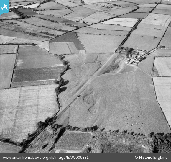
EAW009331 ENGLAND (1947). The course of the Vallum and Hadrian's Wall, Bleatarn, 1947
© Copyright OpenStreetMap contributors and licensed by the OpenStreetMap Foundation. 2025. Cartography is licensed as CC BY-SA.
Nearby Images (2)
EAW009331

EAW009330

Details
| Title | [EAW009331] The course of the Vallum and Hadrian's Wall, Bleatarn, 1947 |
| Reference | EAW009331 |
| Date | 11-August-1947 |
| Link | |
| Place name | BLEATARN |
| Parish | IRTHINGTON |
| District | |
| Country | ENGLAND |
| Easting / Northing | 346414, 561194 |
| Longitude / Latitude | -2.8365871857514, 54.942446846386 |
| National Grid Reference | NY464612 |
Pins
Be the first to add a comment to this image!