
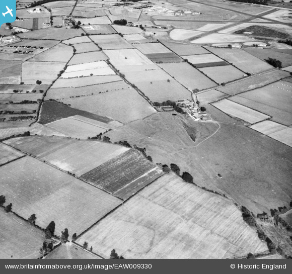
EAW009330 ENGLAND (1947). The course of the Vallum and Hadrian's Wall, Bleatarn, 1947
© Copyright OpenStreetMap contributors and licensed by the OpenStreetMap Foundation. 2025. Cartography is licensed as CC BY-SA.
Nearby Images (2)
EAW009330

EAW009331

Details
| Title | [EAW009330] The course of the Vallum and Hadrian's Wall, Bleatarn, 1947 |
| Reference | EAW009330 |
| Date | 11-August-1947 |
| Link | |
| Place name | BLEATARN |
| Parish | IRTHINGTON |
| District | |
| Country | ENGLAND |
| Easting / Northing | 346551, 561265 |
| Longitude / Latitude | -2.8344618024408, 54.943099574176 |
| National Grid Reference | NY466613 |
Pins
 Graham Yaxley |
Friday 26th of December 2014 05:27:31 PM | |
Graham Yaxley |
Friday 26th of December 2014 05:25:32 PM | |
Alexander J Treliving |
Wednesday 15th of October 2014 04:29:20 PM | |
Alexander J Treliving |
Wednesday 15th of October 2014 04:27:15 PM |