
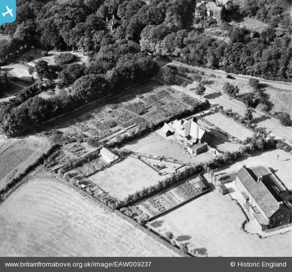
EAW009237 ENGLAND (1947). Hay Tor, Upper Batley, 1947
© Copyright OpenStreetMap contributors and licensed by the OpenStreetMap Foundation. 2026. Cartography is licensed as CC BY-SA.
Nearby Images (22)
EAW009237

EAW009241

EAW009238

EAW009243

EAW013697

EAW013707

EAW016469

EAW009242

EAW009239

EAW016472

EAW016471

EAW009240

EAW016467

EAW013695

EAW016473

EAW013710

EAW013708

EAW013709

EAW013696

EAW016470

EAW009244

EAW016468

Details
| Title | [EAW009237] Hay Tor, Upper Batley, 1947 |
| Reference | EAW009237 |
| Date | 16-August-1947 |
| Link | |
| Place name | UPPER BATLEY |
| Parish | |
| District | |
| Country | ENGLAND |
| Easting / Northing | 424353, 425146 |
| Longitude / Latitude | -1.6308983338419, 53.72192838871 |
| National Grid Reference | SE244251 |
Pins

James Chandler |
Monday 4th of November 2013 01:24:47 PM |