
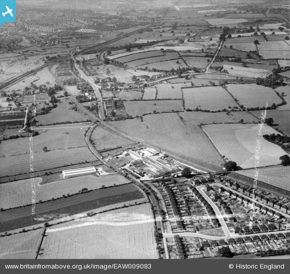
EAW009083 ENGLAND (1947). Leaderflush Ltd Flush Door Works, Stapleford Road and environs, Trowell, 1947. This image was marked by Aerofilms Ltd for photo editing.
© Copyright OpenStreetMap contributors and licensed by the OpenStreetMap Foundation. 2026. Cartography is licensed as CC BY-SA.
Nearby Images (42)
EAW009083

EAW007226

EAW002229

EAW007228

EAW008225

EPW060936

EAW008224

EAW002223

EPW060932

EPW060937

EAW002230

EAW002224

EAW002226

EAW002227

EPW060931

EAW009085

EAW002231

EAW009080

EPW060935

EPW060933

EAW007223

EAW009084

EAW007221

EAW009079

EPW060934

EAW002228

EAW008221

EAW007224

EAW002225

EAW008219

EAW007230

EAW008220

EAW007225

EAW009086

EAW007227

EAW008222

EAW009082

EAW008223

EAW008226

EAW007222

EAW009081

EAW007229

Details
| Title | [EAW009083] Leaderflush Ltd Flush Door Works, Stapleford Road and environs, Trowell, 1947. This image was marked by Aerofilms Ltd for photo editing. |
| Reference | EAW009083 |
| Date | 14-August-1947 |
| Link | |
| Place name | TROWELL |
| Parish | TROWELL |
| District | |
| Country | ENGLAND |
| Easting / Northing | 448811, 339165 |
| Longitude / Latitude | -1.2734841783933, 52.947332165337 |
| National Grid Reference | SK488392 |
Pins

Class31 |
Thursday 7th of August 2014 06:35:14 AM |