
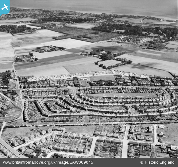
EAW009045 ENGLAND (1947). The residential area at Whitehall, Ramsgate, 1947
© Copyright OpenStreetMap contributors and licensed by the OpenStreetMap Foundation. 2025. Cartography is licensed as CC BY-SA.
Nearby Images (8)
EAW009045

EPW043751

EAW009030

EAW009031

EPW043761

EAW009029

EAW009044

EPW048856

Details
| Title | [EAW009045] The residential area at Whitehall, Ramsgate, 1947 |
| Reference | EAW009045 |
| Date | 12-August-1947 |
| Link | |
| Place name | RAMSGATE |
| Parish | RAMSGATE |
| District | |
| Country | ENGLAND |
| Easting / Northing | 637324, 166575 |
| Longitude / Latitude | 1.4084793138525, 51.348112199185 |
| National Grid Reference | TR373666 |
Pins
Be the first to add a comment to this image!