
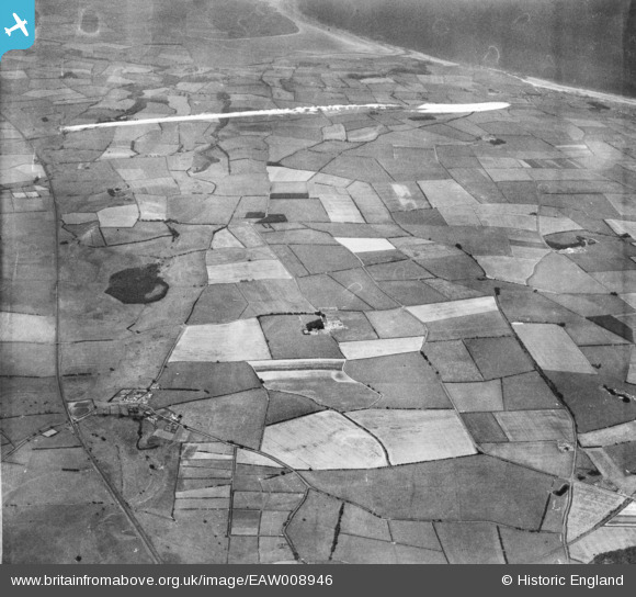
EAW008946 ENGLAND (1947). Countryside around Newham Hall, Newham, from the south-east, 1947. This image was marked by Aerofilms Ltd for photo editing.
© Copyright OpenStreetMap contributors and licensed by the OpenStreetMap Foundation. 2026. Cartography is licensed as CC BY-SA.
Nearby Images (3)
EAW008946

EAW008947

EAW007931

Details
| Title | [EAW008946] Countryside around Newham Hall, Newham, from the south-east, 1947. This image was marked by Aerofilms Ltd for photo editing. |
| Reference | EAW008946 |
| Date | 9-August-1947 |
| Link | |
| Place name | NEWHAM |
| Parish | ELLINGHAM |
| District | |
| Country | ENGLAND |
| Easting / Northing | 418116, 628721 |
| Longitude / Latitude | -1.7128154588132, 55.551843653467 |
| National Grid Reference | NU181287 |
Pins
Be the first to add a comment to this image!