
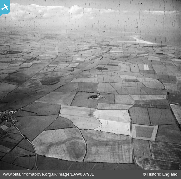
EAW007931 ENGLAND (1947). Newham Hall and the surrounding countryside, Newham, from the south-east, 1947. This image has been produced from a damaged negative.
© Copyright OpenStreetMap contributors and licensed by the OpenStreetMap Foundation. 2026. Cartography is licensed as CC BY-SA.
Nearby Images (3)
EAW007931

EAW008947

EAW008946

Details
| Title | [EAW007931] Newham Hall and the surrounding countryside, Newham, from the south-east, 1947. This image has been produced from a damaged negative. |
| Reference | EAW007931 |
| Date | 27-June-1947 |
| Link | |
| Place name | NEWHAM |
| Parish | ELLINGHAM |
| District | |
| Country | ENGLAND |
| Easting / Northing | 418274, 628770 |
| Longitude / Latitude | -1.7103075551447, 55.552278087336 |
| National Grid Reference | NU183288 |
Pins
Be the first to add a comment to this image!