
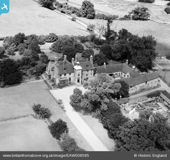
EAW008585 ENGLAND (1947). Houndhill Manor, Marchington, 1947
© Copyright OpenStreetMap contributors and licensed by the OpenStreetMap Foundation. 2026. Cartography is licensed as CC BY-SA.
Nearby Images (6)
EAW008585

EAW008584

EAW008586

EAW008589

EAW008587

EAW008588

Details
| Title | [EAW008585] Houndhill Manor, Marchington, 1947 |
| Reference | EAW008585 |
| Date | 27-July-1947 |
| Link | |
| Place name | MARCHINGTON |
| Parish | MARCHINGTON |
| District | |
| Country | ENGLAND |
| Easting / Northing | 414195, 330373 |
| Longitude / Latitude | -1.7890936450435, 52.870322161182 |
| National Grid Reference | SK142304 |
Pins
Be the first to add a comment to this image!