
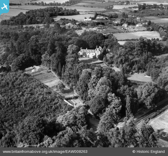
EAW008263 ENGLAND (1947). Oldbury Place and the surrounding area, Ightham, 1947
© Copyright OpenStreetMap contributors and licensed by the OpenStreetMap Foundation. 2026. Cartography is licensed as CC BY-SA.
Nearby Images (10)
EAW008263

EAW008265

EAW008261

EAW008266

EAW008269

EAW008260

EAW008267

EAW008264

EAW008262

EAW008268

Details
| Title | [EAW008263] Oldbury Place and the surrounding area, Ightham, 1947 |
| Reference | EAW008263 |
| Date | 15-July-1947 |
| Link | |
| Place name | IGHTHAM |
| Parish | IGHTHAM |
| District | |
| Country | ENGLAND |
| Easting / Northing | 558730, 156174 |
| Longitude / Latitude | 0.27626533243093, 51.28205172796 |
| National Grid Reference | TQ587562 |
Pins
Be the first to add a comment to this image!