
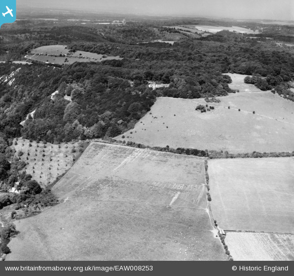
EAW008253 ENGLAND (1947). The southern scarp of Box Hill, Boxhurst, 1947
© Copyright OpenStreetMap contributors and licensed by the OpenStreetMap Foundation. 2026. Cartography is licensed as CC BY-SA.
Nearby Images (7)
EAW008253

EPW001625

EAW003357

EAW003358

EPW005061

EPW001624

EPW001626

Details
| Title | [EAW008253] The southern scarp of Box Hill, Boxhurst, 1947 |
| Reference | EAW008253 |
| Date | 16-July-1947 |
| Link | |
| Place name | BOXHURST |
| Parish | BROCKHAM |
| District | |
| Country | ENGLAND |
| Easting / Northing | 517737, 151073 |
| Longitude / Latitude | -0.31295277227846, 51.246150121142 |
| National Grid Reference | TQ177511 |
Pins

Matt Aldred edob.mattaldred.com |
Monday 2nd of October 2023 06:12:46 PM | |

NewForestRemembers |
Friday 12th of March 2021 09:17:40 AM |