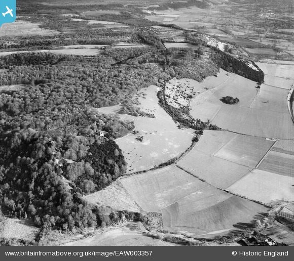
EAW003357 ENGLAND (1946). Box Hill and Brockham Hills, Box Hill, 1946
    © Copyright OpenStreetMap contributors and licensed by the OpenStreetMap Foundation. 2025. Cartography is licensed as CC BY-SA.
  
Details
| Title | [EAW003357] Box Hill and Brockham Hills, Box Hill, 1946 | 
| Reference | EAW003357 | 
| Date | 13-December-1946 | 
| Link | |
| Place name | BOX HILL | 
| Parish | BROCKHAM | 
| District | |
| Country | ENGLAND | 
| Easting / Northing | 517977, 151094 | 
| Longitude / Latitude | -0.30950850671427, 51.24628928742 | 
| National Grid Reference | TQ180511 | 
Pins
|  Dorking Greystone lime works chimney |   Dan Gregory | Thursday 3rd of July 2014 05:13:31 PM | 
|  Brockham Lime Works, closed 1936. See: http://derelictmisc.org.uk/bhl.html |   Dan Gregory | Thursday 3rd of July 2014 05:11:58 PM | 
 
             
  ![[EAW003357] Box Hill and Brockham Hills, Box Hill, 1946](http://britainfromabove.org.uk/sites/all/libraries/aerofilms-images/public/100x100/EAW/003/EAW003357.jpg) 
  
                                          ![[EPW005058] Boxhurst, Box Hill, 1920](http://britainfromabove.org.uk/sites/all/libraries/aerofilms-images/public/100x100/EPW/005/EPW005058.jpg) 
 ![[EAW008253] The southern scarp of Box Hill, Boxhurst, 1947](http://britainfromabove.org.uk/sites/all/libraries/aerofilms-images/public/100x100/EAW/008/EAW008253.jpg) 
 ![[EPW001625] Short Box, Box Hill, 1920](http://britainfromabove.org.uk/sites/all/libraries/aerofilms-images/public/100x100/EPW/001/EPW001625.jpg)