
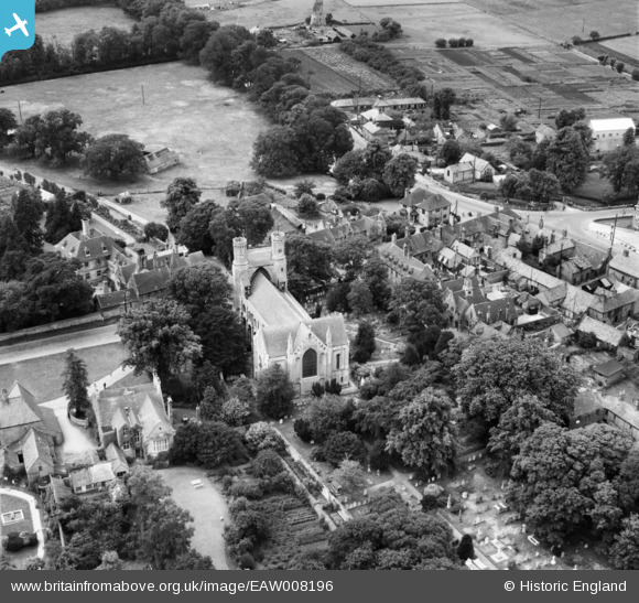
EAW008196 ENGLAND (1947). The Church of St Mary and St Botolph and environs, Thorney, 1947
© Copyright OpenStreetMap contributors and licensed by the OpenStreetMap Foundation. 2026. Cartography is licensed as CC BY-SA.
Nearby Images (7)
EAW008196

EAW008192

EAW008194

EAW008198

EAW008195

EAW008197

EAW008193

Details
| Title | [EAW008196] The Church of St Mary and St Botolph and environs, Thorney, 1947 |
| Reference | EAW008196 |
| Date | 12-July-1947 |
| Link | |
| Place name | THORNEY |
| Parish | THORNEY |
| District | |
| Country | ENGLAND |
| Easting / Northing | 528202, 304210 |
| Longitude / Latitude | -0.10598973123721, 52.620147543355 |
| National Grid Reference | TF282042 |
Pins

Matt Aldred edob.mattaldred.com |
Sunday 3rd of May 2026 05:25:02 PM | |
|
Matt Aldred edob.mattaldred.com |
Thursday 11th of March 2021 05:30:31 PM | |

Sparky |
Sunday 1st of October 2017 10:53:58 PM | |
|
Sparky |
Sunday 1st of October 2017 10:52:34 PM |