
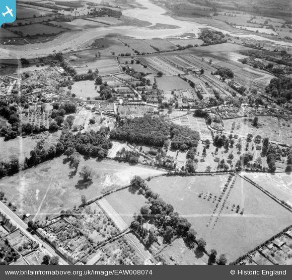
EAW008074 ENGLAND (1947). Warren Hill and environs, Woodbridge, 1947. This image was marked by Aerofilms Ltd for photo editing.
© Copyright OpenStreetMap contributors and licensed by the OpenStreetMap Foundation. 2026. Cartography is licensed as CC BY-SA.
Nearby Images (5)
EAW008074

EAW008075

EAW008071

EAW008073

EAW008072

Details
| Title | [EAW008074] Warren Hill and environs, Woodbridge, 1947. This image was marked by Aerofilms Ltd for photo editing. |
| Reference | EAW008074 |
| Date | 12-July-1947 |
| Link | |
| Place name | WOODBRIDGE |
| Parish | WOODBRIDGE |
| District | |
| Country | ENGLAND |
| Easting / Northing | 626645, 248797 |
| Longitude / Latitude | 1.3088815983278, 52.090611389153 |
| National Grid Reference | TM266488 |
Pins

Matt Aldred edob.mattaldred.com |
Friday 20th of November 2020 10:37:50 PM | |

Pilot |
Monday 4th of November 2013 06:37:45 PM |