
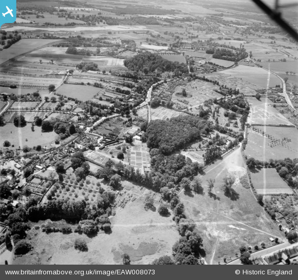
EAW008073 ENGLAND (1947). Warren Hill, Ipswich Road and environs, Woodbridge, from the north-east, 1947. This image was marked by Aerofilms Ltd for photo editing.
© Copyright OpenStreetMap contributors and licensed by the OpenStreetMap Foundation. 2026. Cartography is licensed as CC BY-SA.
Nearby Images (8)
EAW008073

EAW008072

EPW049160

EAW008071

EAW008075

EAW008074

EPW001822

EPW001820

Details
| Title | [EAW008073] Warren Hill, Ipswich Road and environs, Woodbridge, from the north-east, 1947. This image was marked by Aerofilms Ltd for photo editing. |
| Reference | EAW008073 |
| Date | 12-July-1947 |
| Link | |
| Place name | WOODBRIDGE |
| Parish | WOODBRIDGE |
| District | |
| Country | ENGLAND |
| Easting / Northing | 626816, 248897 |
| Longitude / Latitude | 1.3114401134353, 52.091439000761 |
| National Grid Reference | TM268489 |
