
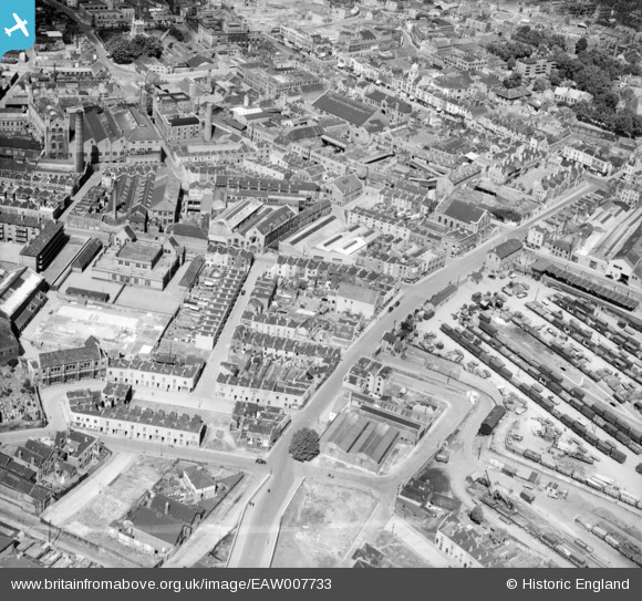
EAW007733 ENGLAND (1947). Midland Road, Jubilee Street and environs, Bristol, 1947. This image was marked by Aerofilms Ltd for photo editing.
© Copyright OpenStreetMap contributors and licensed by the OpenStreetMap Foundation. 2026. Cartography is licensed as CC BY-SA.
Nearby Images (11)
EAW007733

EAW007736

EAW007732

EAW007734

EAW007737

EAW007735

EAW007738

EAW007731

EAW007739

EAW007740

EAW007741

Details
| Title | [EAW007733] Midland Road, Jubilee Street and environs, Bristol, 1947. This image was marked by Aerofilms Ltd for photo editing. |
| Reference | EAW007733 |
| Date | 22-June-1947 |
| Link | |
| Place name | BRISTOL |
| Parish | |
| District | |
| Country | ENGLAND |
| Easting / Northing | 359881, 172991 |
| Longitude / Latitude | -2.5774538484069, 51.453988459455 |
| National Grid Reference | ST599730 |
Pins

Ian |
Friday 1st of January 2021 11:52:07 AM | |

Class31 |
Tuesday 23rd of December 2014 04:05:09 PM | |
|
Horace |
Monday 4th of November 2013 12:44:43 PM | |
|
Horace |
Monday 4th of November 2013 12:43:38 PM | |
|
Horace |
Monday 4th of November 2013 12:43:02 PM |


