
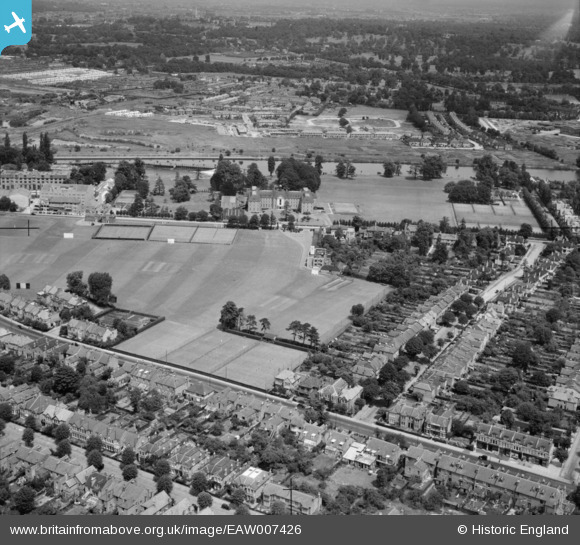
EAW007426 ENGLAND (1947). Lensbury Club, Teddington, 1947
© Copyright OpenStreetMap contributors and licensed by the OpenStreetMap Foundation. 2026. Cartography is licensed as CC BY-SA.
Nearby Images (30)
EAW007426

EAW007441

EAW007444

EAW007431

EAW007443

EAW008256

EAW008257

EAW008259

EAW007429

EAW007430

EAW007436

EAW007433

EAW007427

EAW007438

EAW008255

EPW023394

EAW008258

EAW007445

EAW007440

EAW007437

EAW007435

EAW007432

EAW007428

EAW007425

EAW007434

EAW007442

EPW023393

EAW007439

EAW008254

EAW007447

Details
| Title | [EAW007426] Lensbury Club, Teddington, 1947 |
| Reference | EAW007426 |
| Date | 25-June-1947 |
| Link | |
| Place name | TEDDINGTON |
| Parish | |
| District | |
| Country | ENGLAND |
| Easting / Northing | 516867, 171064 |
| Longitude / Latitude | -0.31885159201741, 51.42602617023 |
| National Grid Reference | TQ169711 |
Pins
Be the first to add a comment to this image!