
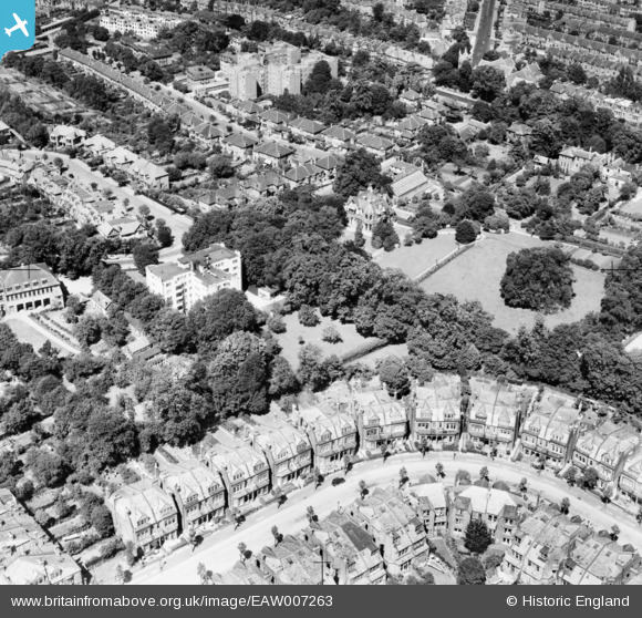
EAW007263 ENGLAND (1947). Whitehall Lodge and King's Avenue, Muswell Hill, 1947
© Copyright OpenStreetMap contributors and licensed by the OpenStreetMap Foundation. 2025. Cartography is licensed as CC BY-SA.
Nearby Images (10)
EAW007263

EAW007264

EAW007262

EAW007261

EAW007260

EAW007256

EAW007265

EAW007258

EAW007257

EAW007259

Details
| Title | [EAW007263] Whitehall Lodge and King's Avenue, Muswell Hill, 1947 |
| Reference | EAW007263 |
| Date | 24-June-1947 |
| Link | |
| Place name | MUSWELL HILL |
| Parish | |
| District | |
| Country | ENGLAND |
| Easting / Northing | 528418, 189954 |
| Longitude / Latitude | -0.14589664878415, 51.593305635999 |
| National Grid Reference | TQ284900 |
Pins
Be the first to add a comment to this image!