
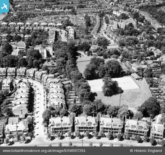
EAW007261 ENGLAND (1947). Tennis Courts behind King's Avenue, Muswell Hill, 1947
© Copyright OpenStreetMap contributors and licensed by the OpenStreetMap Foundation. 2025. Cartography is licensed as CC BY-SA.
Nearby Images (10)
EAW007261

EAW007264

EAW007265

EAW007257

EAW007258

EAW007263

EAW007259

EAW007260

EAW007262

EAW007256

Details
| Title | [EAW007261] Tennis Courts behind King's Avenue, Muswell Hill, 1947 |
| Reference | EAW007261 |
| Date | 24-June-1947 |
| Link | |
| Place name | MUSWELL HILL |
| Parish | |
| District | |
| Country | ENGLAND |
| Easting / Northing | 528464, 189884 |
| Longitude / Latitude | -0.14525850557985, 51.592666011205 |
| National Grid Reference | TQ285899 |
Pins
Be the first to add a comment to this image!