
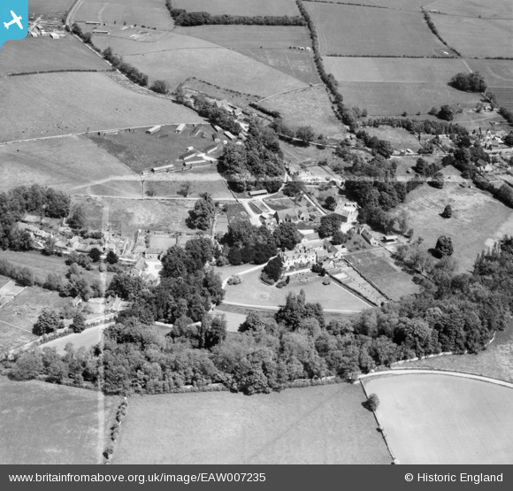
EAW007235 ENGLAND (1947). Ablington Manor and the village, Ablington, 1947. This image was marked by Aerofilms Ltd for photo editing.
© Copyright OpenStreetMap contributors and licensed by the OpenStreetMap Foundation. 2026. Cartography is licensed as CC BY-SA.
Nearby Images (8)
EAW007235

EAW007237

EAW007238

EAW007231

EAW007234

EAW007236

EAW007232

EAW007233

Details
| Title | [EAW007235] Ablington Manor and the village, Ablington, 1947. This image was marked by Aerofilms Ltd for photo editing. |
| Reference | EAW007235 |
| Date | 24-June-1947 |
| Link | |
| Place name | ABLINGTON |
| Parish | BIBURY |
| District | |
| Country | ENGLAND |
| Easting / Northing | 410363, 207664 |
| Longitude / Latitude | -1.8498106824821, 51.767105706203 |
| National Grid Reference | SP104077 |
Pins

Matt Aldred edob.mattaldred.com |
Thursday 15th of July 2021 10:55:56 PM | |
|
Matt Aldred edob.mattaldred.com |
Thursday 15th of July 2021 10:55:48 PM | |
|
Matt Aldred edob.mattaldred.com |
Thursday 15th of July 2021 10:55:35 PM |