
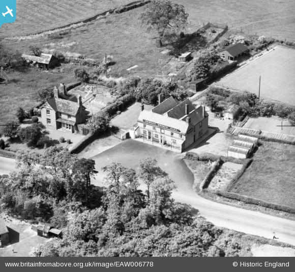
EAW006778 ENGLAND (1947). The Red Lion off Battlefield Road, Shrewsbury, 1947
© Copyright OpenStreetMap contributors and licensed by the OpenStreetMap Foundation. 2025. Cartography is licensed as CC BY-SA.
Nearby Images (4)
EAW006778

EAW006776

EAW006777

EAW017239

Details
| Title | [EAW006778] The Red Lion off Battlefield Road, Shrewsbury, 1947 |
| Reference | EAW006778 |
| Date | 28-May-1947 |
| Link | |
| Place name | SHREWSBURY |
| Parish | SHREWSBURY |
| District | |
| Country | ENGLAND |
| Easting / Northing | 351457, 316336 |
| Longitude / Latitude | -2.7191282518782, 52.742129685154 |
| National Grid Reference | SJ515163 |
Pins

Andrew Bennett |
Tuesday 6th of May 2014 12:06:37 AM |