
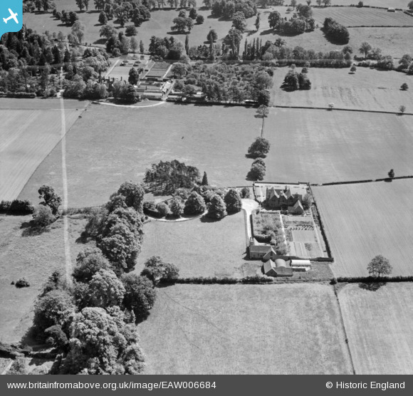
EAW006684 ENGLAND (1947). Stone Edge, Leek Wootton, 1947. This image was marked by Aerofilms Ltd for photo editing.
© Copyright OpenStreetMap contributors and licensed by the OpenStreetMap Foundation. 2025. Cartography is licensed as CC BY-SA.
Nearby Images (3)
EAW006684

EAW006683

EAW006686

Details
| Title | [EAW006684] Stone Edge, Leek Wootton, 1947. This image was marked by Aerofilms Ltd for photo editing. |
| Reference | EAW006684 |
| Date | 28-May-1947 |
| Link | |
| Place name | LEEK WOOTTON |
| Parish | LEEK WOOTTON AND GUY'S CLIFFE |
| District | |
| Country | ENGLAND |
| Easting / Northing | 428690, 268597 |
| Longitude / Latitude | -1.5790906756939, 52.31434168862 |
| National Grid Reference | SP287686 |
Pins
Be the first to add a comment to this image!