
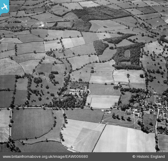
EAW006680 ENGLAND (1947). Wootton Court and surrounding countryside, Leek Wootton, 1947
© Copyright OpenStreetMap contributors and licensed by the OpenStreetMap Foundation. 2025. Cartography is licensed as CC BY-SA.
Nearby Images (10)
EAW006680

EAW006679

EAW006678

EAW006677

EAW006682

EAW006681

EAW006676

EAW006687

EAW006683

EAW006686

Details
| Title | [EAW006680] Wootton Court and surrounding countryside, Leek Wootton, 1947 |
| Reference | EAW006680 |
| Date | 28-May-1947 |
| Link | |
| Place name | LEEK WOOTTON |
| Parish | LEEK WOOTTON AND GUY'S CLIFFE |
| District | |
| Country | ENGLAND |
| Easting / Northing | 428553, 268321 |
| Longitude / Latitude | -1.5811239624893, 52.311867310783 |
| National Grid Reference | SP286683 |
Pins
Be the first to add a comment to this image!