
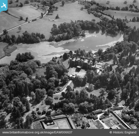
EAW006637 ENGLAND (1947). Eastnor Castle and Lake, Eastnor, 1947
© Copyright OpenStreetMap contributors and licensed by the OpenStreetMap Foundation. 2026. Cartography is licensed as CC BY-SA.
Nearby Images (10)
EAW006637

EPW005398

EPW005397

EAW006638

EAW006640

EPW005399

EAW006635

EAW006639

EAW006634

EAW006636

Details
| Title | [EAW006637] Eastnor Castle and Lake, Eastnor, 1947 |
| Reference | EAW006637 |
| Date | 30-May-1947 |
| Link | |
| Place name | EASTNOR |
| Parish | EASTNOR |
| District | |
| Country | ENGLAND |
| Easting / Northing | 373510, 236924 |
| Longitude / Latitude | -2.3861604498026, 52.029671727957 |
| National Grid Reference | SO735369 |
Pins
Be the first to add a comment to this image!